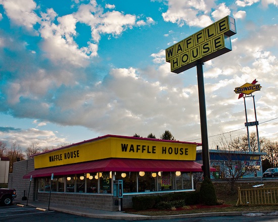

The Federal Emergency Management Agency has an idiosyncratic (and tasty) way of determining the damage caused by a hurricane: the Waffle House Index. The iconic Southern chain is so widespread — and so stalwart — that you can gauge a storm's severity based on whether the local Waffle Houses closed.
Green means the restaurant is serving a full menu, a signal that damage in an area is limited and the lights are on. Yellow means a limited menu, indicating power from a generator, at best, and low food supplies. Red means the restaurant is closed, a sign of severe damage in the area or unsafe conditions.
"If you get there and the Waffle House is closed?" FEMA Administrator Craig Fugate has said. "That's really bad. That's where you go to work."
Waffle House is an institution in the southern U.S.; if you don't work for FEMA, you may be more familiar with the Waffle House Index as a correlation between Waffle House density and latitude. As such, the official Waffle House procedures include detailed hurricane instructions, which boil down to "stay open if you possibly can" — even if you're minus gas, or cooling, or electricity. So the Waffle House Index lets FEMA officials pinpoint where the storm damage is worst, and also get hash browns.