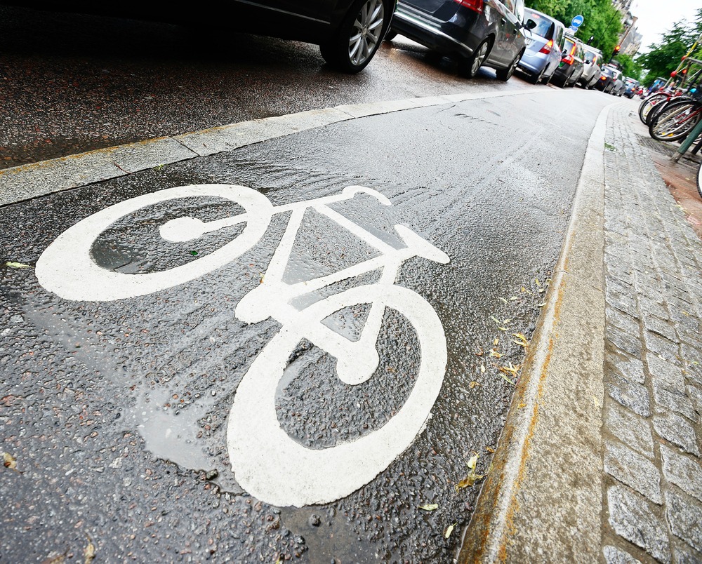
When Wiesbaden, a city in southwest Germany, was declared the least bike-friendly city in the all of Deutschland by a national cyclist club, a local creative agency decided to step in and help the city shed its reputation.
Scholz & Volkmer created the free app Radwende and encouraged the city’s cyclists to use it to track their routes. The data is compiled onto a single map, with more highly trafficked routes showing up as darker, thicker lines. The goal is to create a crowdsourced compilation of the most popular bike routes in the city, to serve as a helpful tool for city planners.
The app has mapped roughly 3,000 rides across Wiesbaden since May and hopes to get more bikers on board, Fast Company reports:
“We believe in change, because a lot of people in City Hall as well as citizens want it to happen,” says agency founder Michael Volkmer, who was the driving force behind the project. “But it’s a chicken-and-egg problem: The city doesn’t invest if people don’t cycle. People do not cycle because it’s not safe. We believe that design and technology can fix that.”
Data from the app was displayed at the Museum Wiesbaden, where a robotic arm traced the bike traffic visualizations in real time for spectators. The exhibit ended in August, but the team behind Radwende has plans to use their data to lobby the city for safer bike infrastructure. The city’s mayor was one of the first people to get a printed copy of the map.
In the meantime, the company is still getting creative with its mapping techniques like equipping bikes with chalk to draw makeshift bike lanes as they’re ridden. Raise your das boot glasses to that.