[protected-iframe id=”35be4524036a8555eb92a01bf60d3432-5104299-30178935″ info=”http://cdn-akm.vmixcore.com/player/2.0/player.swf?player_id=ba55fb58969b45546ee8de839b4394c7″ width=”470″ height=”289″]
DAMN this is a good-looking planet! And lest you forget, NASA has collected its favorite satellite images from 2012, showing Earth from all sorts of flattering angles.
Mixed in with the true-color images are some fancy computer models and data visualizations, to remind you that Earth isn’t just pretty — it’s endlessly fascinating. I kinda wish the video provided some indication of what the heck we’re looking at with the models, but they at least look real cool, and if you’re interested in finding out more you can go to the source:
NPP “Blue Marble”
Time-lapse from International Space Station
NPP daytime view followed by night views
Arctic Peninsula
Linear Dunes
Grande Terre
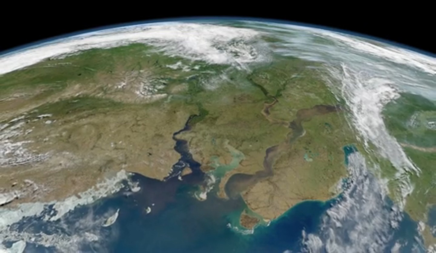
River Outflow to the Kara Sea
Bylot Island Comparison
Crop Circles in the Desert
Crack in the Pine Island Glacier
Tiny Shrimp, Big Changes
Petermann Ice Island 2012
Aquarius data swath and sea surface salinity on rotating globe
United States Active Fires 2012
Gulf Stream Sea Surface Currents and Temperatures
Daily 2012 ozone hole
Daily Sea Ice During August and September 2012 with Winds
Circulation of Ocean Currents around the Western Antarctic Ice Shelves
Hurricane Sandy’s Winds
Aerosols from GEO-5 Nature Run Collection
Moonset Time-Lapse from International Space Station