Two weeks ago in the eastern Pacific hurricane basin, we saw Category 4 Hurricane Amanda, which was too strong, too early. Amanda was the “strongest May hurricane on record in the eastern Pacific basin during the satellite era,” noted the National Hurricane Center.
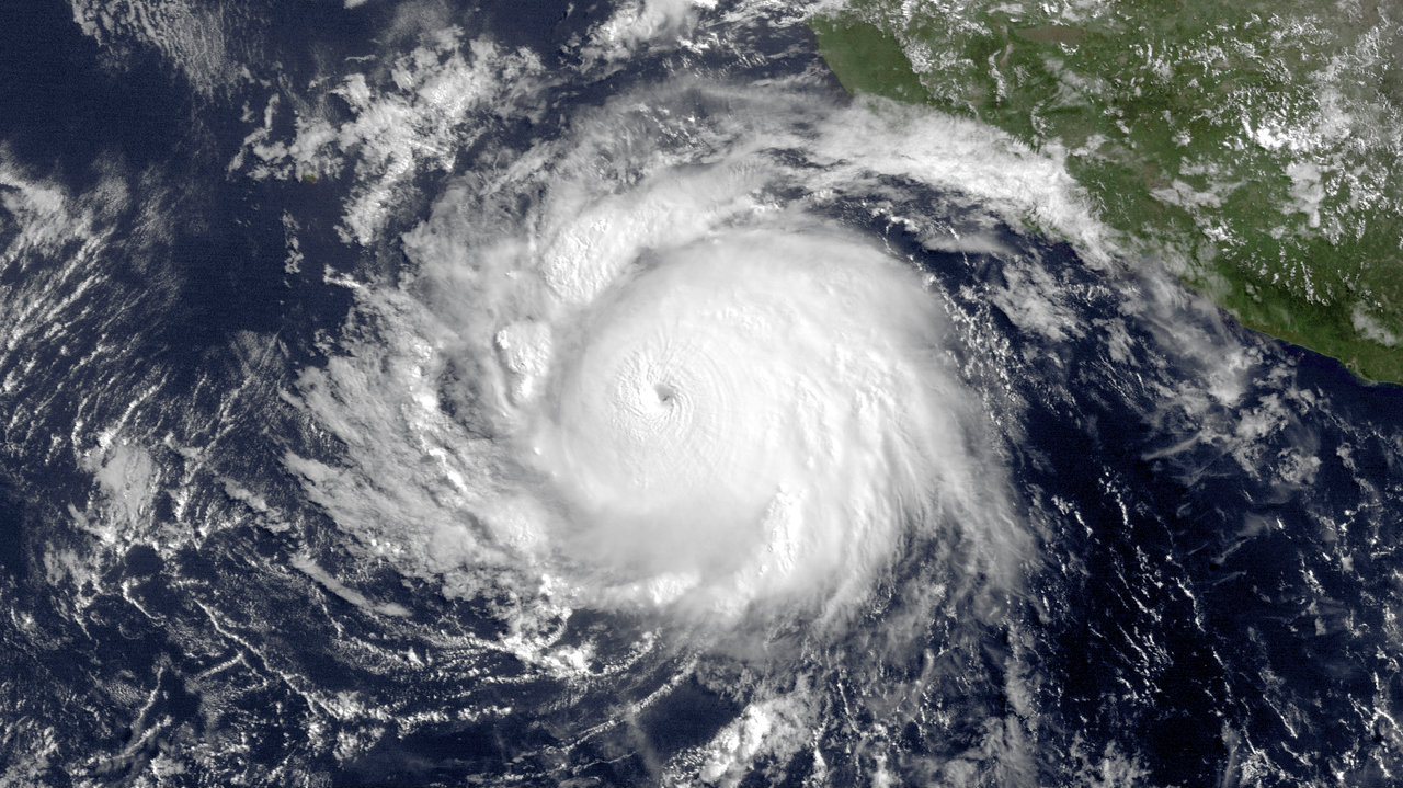
And right now, the basin is host to Category 4 Hurricane Cristina, which follows on Amanda’s record with a new one. The storm just put on an “extraordinary” burst of intensification in the last 24 hours, rocketing from Category 1 to Category 4 strength, with maximum sustained wind speeds of 150 miles per hour. And now that it has gotten there, notes the National Hurricane Center, we have another new record:
[tweet https://twitter.com/NHC_Pacific/statuses/477009736945381376]Adds encyclopedic weather blogger Jeff Masters:
This year is also the first time there have been two Category 4 hurricanes before July 1 in the Eastern Pacific. Prior to Cristina, the earliest second Category 4 hurricane was Hurricane Elida in 1984, which reached that threshold on July 1.
As I’ve noted before, the eastern Pacific basin tends to be very active in El Niño years. We are not officially in an El Niño right now, but the forecast for one developing this summer is now 70 percent. In this case, maybe the eastern Pacific is ahead of the forecasters in responding to the state of the ocean and atmosphere.
As of now, Hurricane Cristina is expected to travel westward, harmlessly, out to sea.
 This story was produced as part of the Climate Desk collaboration.