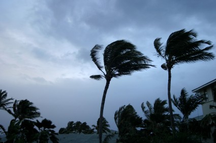
Isaac hits the Florida Keys
http://www.newslook.com/videos/478838-raw-video-isaac-churns-toward-gulf-of-mexico-gathers-strength
Late on Saturday, the Republican Party came to a difficult decision. In order to avoid logistical problems upon the arrival of Tropical Storm Isaac in Tampa, the convention’s activities today would be cancelled. A performance by the Oak Ridge Boys would be scrapped — though one by the daughter of Sen. Scott Brown (R-Mass.) remained on the docket — and Donald Trump’s exciting/hysterical surprise would, lamentably, not come to pass. But caution is the watchword in such circumstances, and for a convention that’s even wary of bananas, the tropical storm offered too much risk.
A couple of hours later, it became clear that Isaac would not hit Tampa at all; just a few wispy, straggling rain bursts would pass over the city. Good news for Tampa — and terrible news for New Orleans.

Projected path of Tropical Storm Isaac. Click to embiggen.
This is the most recent expected track from the National Oceanic and Atmospheric Administration for the storm as of 8 a.m. Eastern this morning. Tropical Storm Isaac, now west of Florida, will spin over the Gulf of Mexico for a day or two and then make landfall almost directly on top of NOLA. Areas along the Gulf Coast have already declared states of emergency; oil companies have evacuated rigs in the Gulf.
New Orleans today is better prepared than it was seven years ago — Katrina taught it some lessons. The Army Corps of Engineers has spent billions updating the city’s levee system and New Orleans residents indicate that they feel better prepared as well. (One veteran reporter tweeted a series of hurricane tips, should you still need some advice.) Second, you’ll notice from the map above that the remnants of the storm will sweep up into Missouri and Iowa — good news for those drought-riddled states.
The best news, though, is that — unlike during Katrina — water temperatures in the Gulf are fairly cool. Unusually warm water in the Gulf in 2005 quickly fueled Katrina into a Category 5 storm [PDF] (though it made landfall at Category 3). Compare water temperatures that year, first image below, with this year — the second. (Note that the first map is in Celsius; 32 degrees C is about 90 degrees F.)

Water temperatures and Katrina track, 2005. Click to embiggen.

Water temperatures, 2012. Click to embiggen.
Isaac is still dangerous, but it’s unlikely to become as big a storm as Katrina was. When it makes landfall on Wednesday morning, it will probably be a Category 1 storm, hitting a city that’s much better prepared for a hurricane’s impacts thanks to a massive, deadly storm that struck seven years earlier — to the day.