Caleb Philips and Ethan Welty are my favorite people today. They are the creators of Falling Fruit — a map that lists locations of fruits and vegetables free to forage across the world. And they are my favorite people because I used their creation to look up foraging possibilities in my neighborhood and found that a bar around the corner from my house has a fig tree in its garden and lets people pick the fruit. NPR explains how the project works:
The map looks like a typical Google map. Foraging locations are pinned with dots. Zoom in and click on one, and up pops a box with a description of what tree or bush you can find there. The description often includes information on the best season to pluck the produce, the quality and yield of the plant, a link to the species profile on the U.S. Department of Agriculture’s website, and any additional advice on accessing the spot.
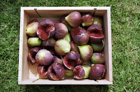
So I can tell that the crabapple tree near the hospital has a “not great” yield of “decent” fruit, and learn what mulberry bushes look like, in case I want to go around one of the many near me sometime early in the morning. But probably I’ll be busy at the bar waiting for figs to ripen, instead.
[Update: We’ve been contacted by the creators of Fallen Fruit, an art collaboration that “uses fruit as a common denominator to change the way you see the world,” who say that Falling Fruit “seems to have taken its concepts, terms and ideas from our organization.” Among other work, Fallen Fruit also has foraging maps available for certain neighborhoods in the U.S. and internationally. You can compare the two projects for yourself.]