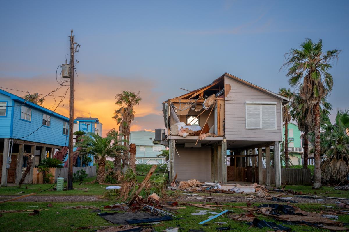
In recent years, as the United States has suffered a series of damaging climate disasters, experts have warned that the nation is headed toward a homeowner’s insurance crisis. Insurance companies dropped hundreds of thousands of customers who live in areas vulnerable to hurricanes and wildfires, and numerous small insurers have gone belly-up after big disasters. This has led some to forecast that a broader market failure in disaster-prone states is looming, or even a housing market collapse.
That has not happened yet. But in the meantime, insurance has gotten a lot more expensive — and the price hikes are not going anywhere. A new nationwide report from the insurance price comparison firm Insurify found that the average American homeowner’s insurance bill rose 12 percent last year, reaching $2,948 per year, and will rise another 4 percent this year. This is much faster than overall inflation for the same period. (These numbers don’t include flood insurance, which most often requires a separate plan, backed by the federal government.)
There are a... Read more