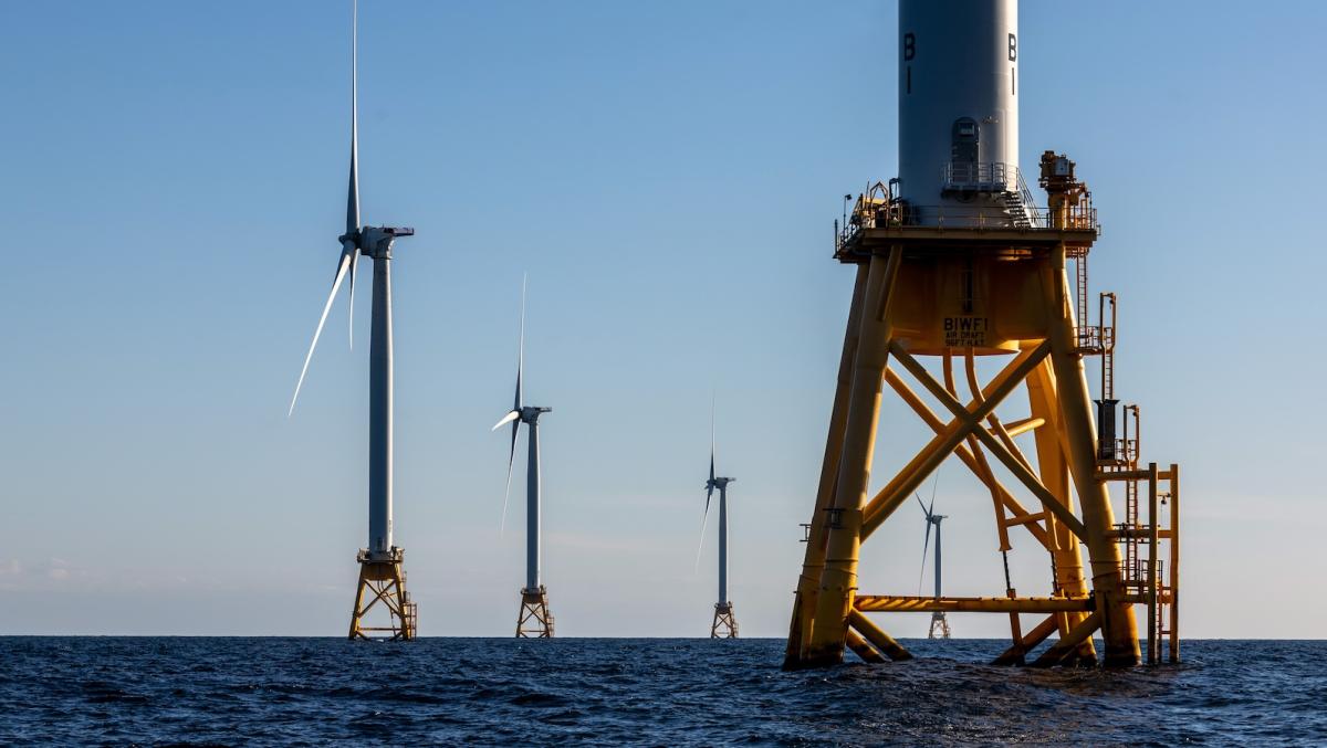
Louisiana’s offshore wind industry has a date circled on the calendar: January 21, 2029 — the first day after President Donald Trump is scheduled to leave office.
Trump’s policies have brought offshore wind development to a near standstill around the country, with his administration paying developers roughly $4 billion to walk away from projects. But in Louisiana, leaders in the industry say they are trying to preserve their expertise and supply chain in hopes of reviving offshore wind projects under the next administration.
“Come January 21st, 2029, we all get to wave goodbye,” said state Representative Joe Orgeron, a Republican from southeastern Louisiana who worked in the offshore wind industry. “The current administration has been a one-man stopping show. I’m pretty confident, and I’m hopeful that it’ll change.”
Orgeron later put the industry’s near-term strategy more succinctly: “Just wait for the clock to run out.”
Read more