Tropical storm Ian turned into a hurricane on Monday, on course to make landfall in Florida later this week. As of Monday afternoon, the storm system was moving toward western Cuba with sustained winds of at least 100 miles per hour. Ian is expected to continue moving north and northeast, threatening towns along Florida’s west coast with dangerous storm surges, high winds, and heavy rains.
Though cautioning that Ian’s exact path is uncertain, the National Oceanic and Atmospheric Administration’s Hurricane Center placed Tampa Bay under a hurricane watch on Monday, with Hillsborough County and Pinellas County issuing evacuation orders for some areas soon after.
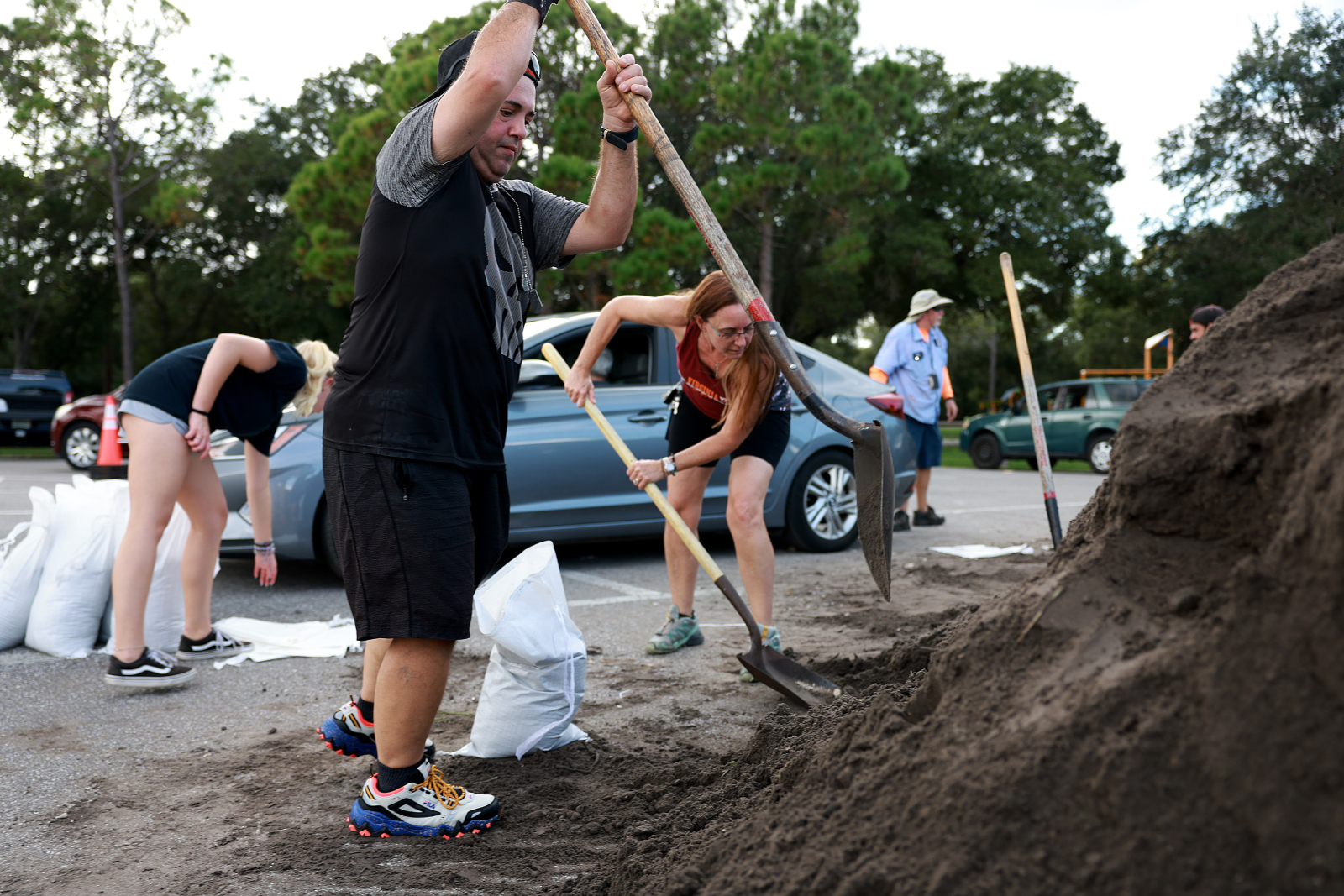
Officials are warning people in the Tampa area to take immediate action. “It’s time to stop looking on the internet and hoping that it’ll go away. It’s time to start acting,” Jamie Rhome, the National Hurricane Center acting director, told CNN.
Earlier this year, the Tampa Bay Times looked at public land records, storm surge maps, property records, and census data and found that the heavily populated Tampa Bay region — home to both Tampa and St. Petersburg — is fragile in the face of impending hurricanes, no matter the category.
The report identified at least 700 key buildings, from places of worship to schools, at risk of major flooding with a Category 1 storm, with the devastation increasing under stronger winds. The region is prone to devastation even with smaller-scale storms: one in nine properties in Pinellas County, the coastal county of a million people that includes Tampa and St. Petersburg, could see 3 feet or more of storm surge during Category 1 storms. Currently, the storm surge caused by Hurricane Ian is expected to raise water levels five to 10 feet in Tampa Bay.
Other studies show that Tampa has the second highest number of properties at risk of flooding in the country, and seven of the top 10 cities in the country at greatest risk from economic losses were in Florida, with St. Petersburg ranked second and Tampa third.
In a press briefing on Monday, Tampa Mayor Jane Castor said the city is “preparing for the worst and hoping for the best” ahead of Ian’s landfall. “We’ve seen these storms get more dangerous in the last few years, and so you’ve got to heed these warnings,” Castor said.
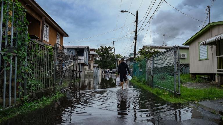
As oceans warm, studies show that recent hurricanes are wetter and more violent. But until recently, this year’s hurricane season was largely quiet. Hurricane Fiona, the year’s most devastating hurricane to date, started in mid-September and made landfall in Puerto Rico, Guadeloupe, and the Dominican Republic, killing at least six people combined. Millions of residents in Puerto Rico are now without power or water, with recovery efforts still underway. Fiona then moved north along the Atlantic and touched down in the Canadian province of Nova Scotia last Saturday, killing at least one person.
Ian has already caused gusting winds and heavy rainfall in the Cayman Islands as it heads north. It’s expected that Ian will hit Cuba early Tuesday with “life threatening storm surge and heavy rainfall,” National Hurricane Center senior specialist Daniel Brown told The Associated Press on Monday.
As Ian moves through the Gulf of Mexico, its path could change, but the current forecast has it making landfall on the Florida panhandle or on the western side of the state. In preparation, both the state’s Republican governor, Ron DeSantis, and President Joe Biden have issued states of emergency in Florida in the face of this rapidly strengthening storm.


