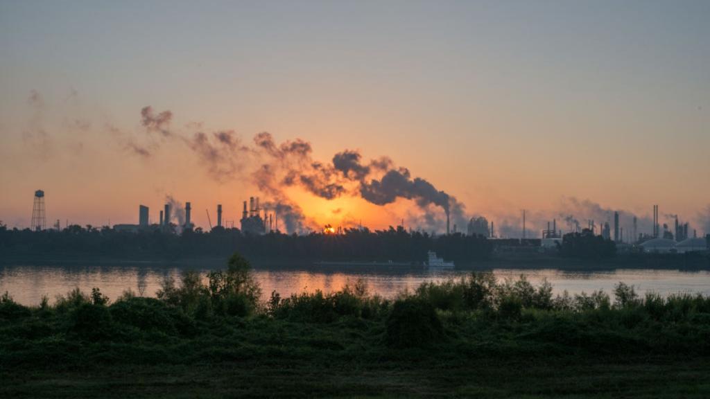
New Scientist has a nifty piece running. Eighteen months of satellite data was aggregated to show a pictorial representation of concentrations of nitrogen dioxide around the globe — i.e., pollution. Things aren’t looking too good for the American Northeast, bits of Europe, or China.
A visual guide to global pollution
Find this article interesting?
Donate now to support our work.
Read more: Uncategorized

Smart, competitive electricity markets, you say? We're all ears
Disappearing glaciers: Now you see them, now you don’t
Screwed by climate change: 10 cities that will be hardest hit
Comments