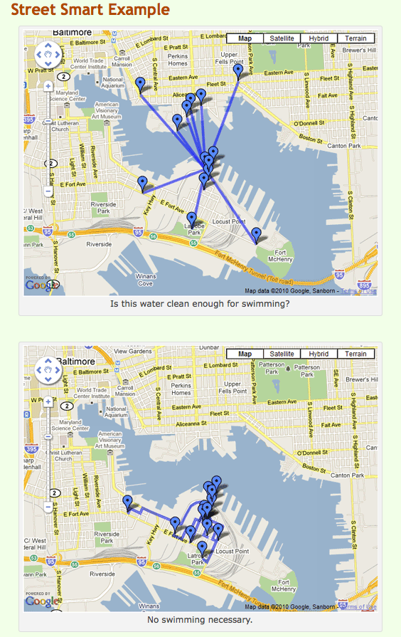
 Since it was launched nearly four years ago, Walk Score has been gaining popularity as a tool for gauging the walkability of a neighborhood. Real estate companies use it to help market homes. Home-seekers use it to help them figure out whether there are enough supermarkets/cafés/schools/parks within walking distance to make them happy. When you visit a place you don’t know, you can use it to see if your hotel has any bars within staggering distance.
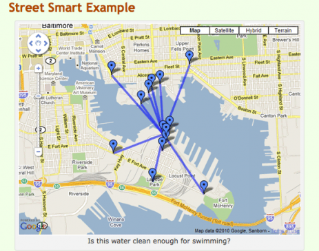
The problem has been that up until now, the distances that are figured into a location’s scores haven’t truly been walking distances — they’ve been “as the crow flies” distances. And we’re not crows. We can’t fly across, say, the East River to get a cup of coffee. And some types of streets are a lot more walkable than others.
Today, Walk Score unveiled a preview version of the solution: Street Smart Walk Score. From the company’s blog:
For every Street Smart score, we generate hundreds of walking routes to find the nearest amenities. We also analyze the underlying street data to calculate the number of intersections and average block length.
Street Smart Walk Score gives more weight to amenities that are highly correlated with walking. In addition, multiple amenities in each category count towards your score — for example, we count 10 restaurants to reflect the depth of choice that walkable neighborhoods offer.
When you look up a Street Smart Walk Score, we give you a report showing exactly how many points each amenity contributed to your score. This makes the algorithm easy to understand and completely transparent.
It also won’t send you into Baltimore’s Inner Harbor in search of a beer.
Try it out, and let us know if it’s a better indicator of your neighborhood’s walkability than the original Walk Score.


