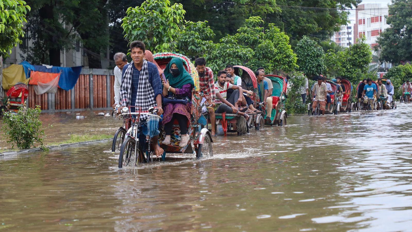
Countries across the globe have been building in flood-prone areas at an alarming rate, and that’s putting people and property at ever greater risk of inundation, especially as climate change exacerbates extreme weather events.
A study published this week in Nature found that although development in cities, towns, and villages worldwide increased 85 percent between 1985 and 2015, building in flood-hazard areas jumped 122 percent. That gap varied considerably by country, and was particularly stark in east Asia and middle-income countries, which have seen rapid urbanization in recent years.
“We invest in flood zones more than safe zones,” says Stephane Hallegatte, a senior climate change adviser at the World Bank and author of the paper. “We are increasing our exposure to floods, which is not what we should be doing.”
The study is based on an analysis of flood-hazard and settlement-footprint data that Hallegatte says wouldn’t have been possible on a global scale even a few years ago and allowed researchers to track floodplain development on an annual basis.
Development patterns ranged drastically across countries. China was an outlier, with a 226 percent increase in settlements in “very high hazard” areas that would see nearly five feet (150 centimeters) of inundation during a 100-year flood. In Canada that number was 58 percent.
While the study didn’t explore the factors driving development in specific locations — though that could be a way for researchers to build on its findings — Hallegatte says a multitude of factors are likely at play, such as where economic opportunities are located and how fast a country is urbanizing.
“Where development is going really, really fast, and countries and cities aren’t equipped with what you need to manage risks, you have this big increase,” says Hallegatte. It can get to a point, he says, where “people are growing in risky areas because there are no other alternatives.”
These findings don’t surprise Sam Brody, director of the Institute for a Disaster Resilient Texas at Texas A&M University. He wasn’t involved in the study but has worked on similar issues in the United States.
“This really sheds light on the fact that these are global trends,” he says of what he calls a “great study.”
The United States was among a number of countries that already had a significant amount of settlement in flood prone areas before 1985, so safer areas have seen a faster rate of growth since then. That’s the opposite of many other countries. Still, the differences in expansion rates around the world give Hallegatte hope because they show that risky development isn’t inevitable.
“There is a lot of opportunity to drive urban development to safer places,” he argues, whether that’s through building codes, zoning restrictions, or incentives to move to higher ground. The potential to change course is especially great in low-income countries that haven’t yet experienced building booms.
“All of this information is very important for mitigating the flood risk in the future,” agrees Mona Hemmati, a research scientist specializing in natural disaster risk at Columbia University’s Lamont-Doherty Earth Observatory. She says that policymakers can use this information to develop urban plans that are better at keeping people out of harm’s way.
Part of the problem in the past, says Hallegatte, is that officials would only get that kind of feedback after a flood. And even with this study, the data ends in 2015 because it took so long to do the analysis. Moving forward, Hallegatte hopes to find ways to speed up the process in order to provide more timely information to countries and cities around the world.
“You can have this conversation before the disaster happens,” he says, “and hopefully prevent them.”


