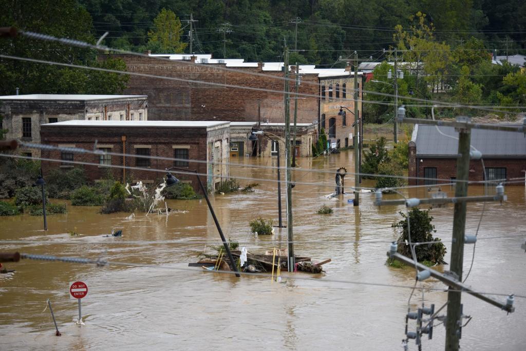
It’s barely the middle of summer in the northern hemisphere, and heatwaves are once again breaking temperature records.
In the United States, dozens of cities sweltered through their hottest Fourth of July celebrations, with temperatures over 100 degrees Fahrenheit. In New Jersey alone, dozens died from the heat over the weekend. European authorities have linked thousands of deaths during the end of June to heat-related causes. And on Thursday, the European Union’s Copernicus Climate Change Service announced that Western Europe had experienced the hottest June ever recorded in the region.
The seas are running a fever, too. It was also the hottest June on record for the world’s oceans, according to Copernicus. Nearly 40 percent of ocean area worldwide is undergoing a marine heatwave, with intense hot patches in the Mediterranean Sea and the Pacific Ocean more than 10 degrees Fahrenheit hotter than usual. It’s the latest in a wave of ocean warming that began in 2023, fueling devastating cyclo... Read more