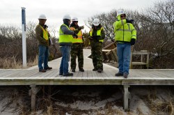
U.S. Army Corps of EngineersCleaning up Fire Island after Hurricane Sandy.
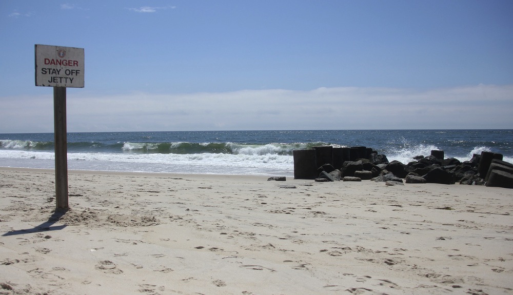
It was obvious to locals that Fire Island, N.Y. — Long Island’s longest barrier island — lost a lot of sand during Superstorm Sandy. And now federal scientists have quantified the staggering loss: 54.4 percent.
The researchers warn that the disappearance of more than half of the island’s sand dunes and beachfront sand has left the tourist mecca more vulnerable to further storms and floods.
During winter storms that followed Sandy, the shoreline on the exposed island was sucked back a further 200 feet in one place, though most of the sand lost during those smaller storms washed back into place by April. Much of the sand lost during the superstorm, by contrast, is still missing.
From the U.S. Geological Survey report [PDF]:
Hurricane Sandy profoundly impacted the morphology of Fire Island and resulted in an extremely low elevation, low relief configuration that has left the barrier island vulnerable to future storms. The coastal system subsequently began to show signs of recovery, and although the beach is likely to experience continued recovery in the form of volume gains, the dunes will take years to rebuild. Events such as Sandy result in a coastal environment that is more vulnerable to future storm impacts, but they are an important natural process of barrier islands that allow these systems to evolve in response to sea-level rise.
The vast majority of the sand that Sandy purloined from Fire Island was washed offshore, where it is currently of little use to East Coasters eager for protection from future storm surges. The researchers calculated that just 14 percent drifted inland toward other area shorelines.

