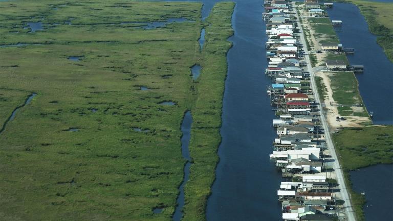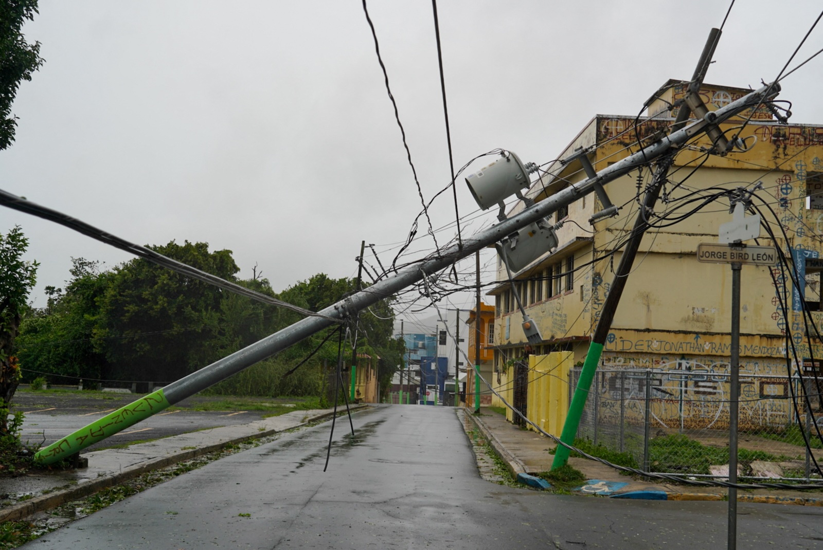
After unleashing widespread flooding and knocking out electricity for half of Puerto Rico, this season’s third hurricane, Ernesto, has turned north, and is approaching Bermuda. In an average Atlantic season, the third hurricane doesn’t spin up until September 7, so Ernesto has arrived way, way early. As of August 9, this summer had already produced a third of the activity in a typical season — with nearly 90 percent of it remaining.
All that makes Ernesto, now a Category 2 hurricane, an ominous sign of what’s still to come in the next few months — and what to expect as the planet rapidly warms. “Being a little more than three weeks ahead of schedule for the third hurricane is pretty impressive,” said Brian McNoldy, a hurricane researcher at the University of Miami.
This spring, scientists predicted that the Atlantic Ocean would play host to an exceptionally active hurricane season, with five major hurricanes and 21 named storms, for one particularly good reason — the ocean is exceptionally warm, and is expected to stay that way. In July, the nursery for Atlantic hurricanes was running 2.8 degrees Fahrenheit higher than the long-term average. “Hurricanes are a lot like engines — they need some sort of fuel,” said Daniel Gilford, who studies hurricanes at Climate Central, a nonprofit research organization. “They need something to be able to accelerate and pick up wind speed, and the thing they use to do that largely is the ocean surface.”
As water evaporates off the ocean, buoyant clouds form, releasing heat and lowering atmospheric pressure. That sucks in air, creating winds and a vortex. Hurricanes also love high humidity because dry air can slow the speed of the updrafts that the storms need to grow big and strong. Hurricanes hate wind shear — winds moving at different speeds and directions at different altitudes. El Niño tends to encourage the proliferation of wind shear over the Atlantic, while La Niña tends to discourage it. Right now the conditions are “neutral,” as El Niño has faded and La Niña has yet to officially form.
So warm ocean temperatures aren’t the only ingredient to make a hurricane, but they’re certainly the fuel. As Ernesto was chugging across the Atlantic between West Africa and the Caribbean, it was encountering abnormally high ocean temperatures made at least 50 to 100 times more likely because of climate change, according to Climate Central’s analysis. (To be clear, this isn’t saying that Ernesto itself was more likely because of climate change — that will require further analysis.) More remarkable still, the group found that Hurricane Beryl, a Category 5 that slammed into Texas in early July, fed on ocean temperatures made 100 to 400 times more likely by climate change. “We also know that storms are moving slower, they are lasting longer, and these things we expect to be influenced by climate as well,” Gilford said.
High ocean temperatures also feed the “rapid intensification” of hurricanes, defined as a jump in sustained wind speeds of at least 35 mph in 24 hours. Hurricane Beryl did that on its way to Texas, shattering records for how quickly it developed into a monster storm. Rapid intensification makes hurricanes extra dangerous because a coastal city might be preparing for a Category 2 to make landfall, only for a Category 5 to suddenly appear. And the problem is only getting worse, as research has found a dramatic increase in the number of rapid intensification events close to shore.
Luckily for Bermuda, Ernesto hasn’t rapidly intensified — though it’s come close this week — but it’s still a very dangerous Category 2. “The shear is potentially a little bit stronger than originally thought,” said Samantha Nebylitsa, who studies hurricanes at the University of Miami, and “dry air just has been really impeding the intensification. It’s just not letting up.” That could well weaken the storm into a Category 1 by the time it hits Bermuda.
The Atlantic is likely to continue providing more fuel as summer winds down. Because the ocean takes longer to heat up than the land, the peak of hurricane season isn’t until September. And the season doesn’t officially close until the end of November. “The best predictions suggest that we are maybe only about 15 or 20 percent the way through of the total activity we expect this year,” Gilford said. “There’s a lot more to come down the pipeline in 2024.”
A message from
Your support keeps our climate news free.
Grist is the only award-winning newsroom focused on exploring equitable solutions to climate change. It’s vital reporting made entirely possible by loyal readers like you.
At Grist, we don’t believe in paywalls. Instead, we rely on our readers to pitch in what they can so that we can continue bringing you our solution-based climate news. Donate today to keep our site free. All donations DOUBLED for a limited time.