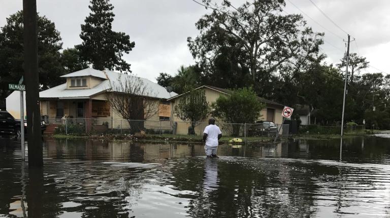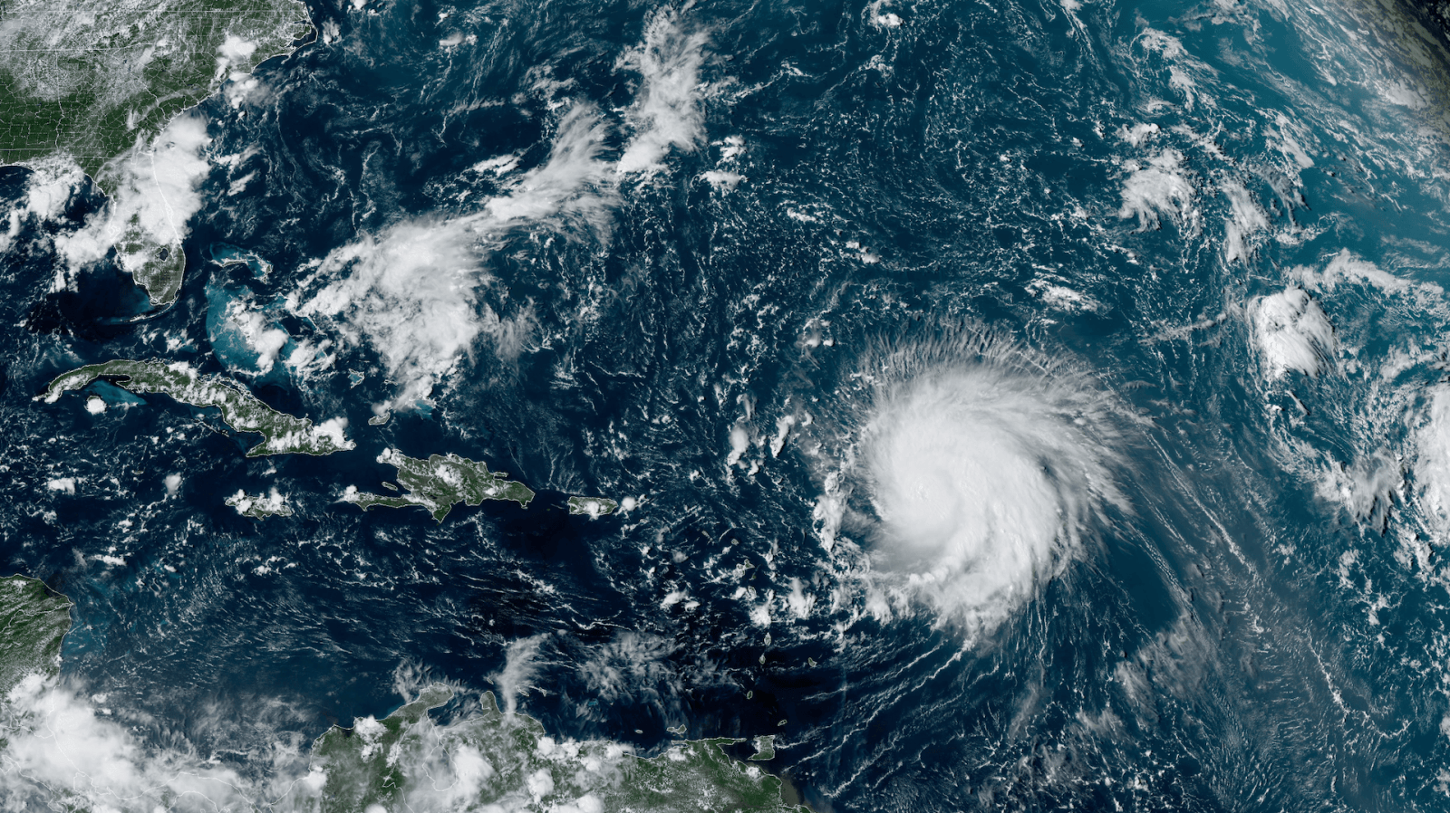
Hurricane Lee, a mammoth peak-season storm in the Atlantic, is making a beeline for New England and Canada. Once a Category 5 storm, Lee weakened to Category 1 by the time it made a northward pivot and began its march toward land on Thursday. But the storm is still expected to lash parts of Massachusetts, Maine, New Brunswick, and Nova Scotia with tropical-storm-force winds, rain, waves, and potentially catastrophic storm surge as it makes landfall over the weekend.
Meteorologists are especially concerned about the Bay of Fundy, a body of water between eastern Maine and Nova Scotia that holds the record for the highest tides in the world — with a difference of up to 53 feet between low and high tides. With a little bit of bad timing, Lee’s powerful winds could force a tremendous amount of water into the bay on top of a high tide, and inundate New Brunswick and Nova Scotia with record flooding.
Even on an ordinary day, the Fundy tides are so dramatic that they can sweep over whole beaches in a matter of minutes. In some parts of Nova Scotia and New Brunswick, the incoming water at high tide pushes so far inland that it reverses the flow of rivers, a phenomenon known as a tidal bore.
“If the storm goes just west of the Bay of Fundy, and it’s aligned with the correct tide cycle — well, it’s an unfortunate science experiment,” said Jeff Berardelli, chief meteorologist for WFLA-TV in Tampa Bay, Florida. “We’ve never seen something like that exactly.”
Lee’s winds will be blowing west, which makes Nova Scotia, on the east side of the Bay of Fundy, particularly vulnerable to rising waters. There, waves could reach 40 feet in height on top of three to six feet of storm surge. “The water impacts, just exactly what’s going to happen there, that’s the big question mark,” said Ryan Truchelut, a meteorologist and the founder of the weather Substack WeatherTiger. “That’s potentially the most serious aspect of the storm.”
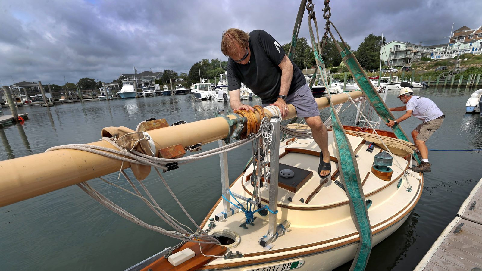
Storm surge could also be an issue on the north-pointing part of Cape Cod, Massachusetts. The National Hurricane Center has issued a storm surge watch for that portion of the cape.
Sixty-four-year-old Howard Zwicker owns the Harbour Grille & Gift House on Grand Manan Island, a small Canadian island between Maine and Nova Scotia at the wide mouth of the Bay of Fundy. On Thursday morning this week, he was unruffled by the forecast. “We’re cleaning up our yard, taking down our hanging plants and our patio furniture, and that’s pretty much it,” said Zwicker, who was born on Grand Manan Island and has run the Harbour Grille with his wife for the past decade. “Everybody is doing their due diligence, but nobody’s panicking.”
Storms of Lee’s intensity are not unusual in the northern Atlantic, though they rarely make landfall in New England and coastal Canada. Lee’s impacts will also be abnormal in a couple of respects. It’s a large weather system — the hurricane’s tropical force winds span roughly 600 miles in diameter — which means its effects will be felt in multiple states along the Eastern Seaboard.
“It’s gigantic,” said Truchelut. “In terms of tropical storm wind radii, this is one of the very largest out there.” Much of coastal New England will experience huge, battering waves that are 15 feet or higher. On Thursday, the governor of Maine issued a state of emergency as the state was put under its first hurricane watch in 15 years.
The other unusual thing about Lee is that the storm will bring flooding to a part of the U.S. that is already waterlogged from a summer so rainy it broke records in parts of New Hampshire and Vermont. This summer was Maine’s second wettest on record, behind the summer of 1917. Record-breaking rainfall is a telltale sign of climate change; research shows a hotter atmosphere holds more evaporated water.
Flooding brought on by Lee on top of the already soaked soil in New England will make the storm’s impacts more dangerous. Heavy gusts of wind can cause trees rooted in saturated soil to tip over, and localized flooding is more likely. “Fifty- or 60-mile-per-hour winds, you get that every year,” Truchelut said. “The difference here is that the trees still have their leaves on, and the soil is wet from recent rainfall.”
Climate change doesn’t create large hurricanes like Lee, but it does make them intensify faster and occur more frequently. The Atlantic Ocean is currently going through a period of extreme sea-surface warming — water temperatures in parts of the North Atlantic have hovered around 77 degrees Fahrenheit for more than a month, “almost beyond the most extreme predictions of climate models,” the Washington Post reported in July. That record warmth allowed Hurricane Lee to intensify from a tropical depression to a Category 5 storm in less than three days, a phenomenon that has only happened a couple of times before in Atlantic hurricane history.

“Given the record-high sea-surface temperatures in the North Atlantic, it is interesting that in this year we see a hurricane barreling toward New England,” said Sean Birkel, the state climatologist for Maine. “Because it is rare for hurricanes to reach New England and certainly into Maine.”
Lee is arriving at the meteorological midpoint of hurricane season, and there are multiple other storm systems on its tail. These include Margot, which is churning in the middle of the Atlantic, and a still-forming storm that could become Hurricane Nigel. Forecasts show Nigel taking the same path as Lee, west across the Atlantic Ocean and up past Bermuda. Even if the Northeast escapes major damage from Lee, it may not be out of the woods yet.
Jake Bittle contributed reporting to this article.