Shutterstock“I smell burning. Are you grilling?”
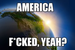
Last summer, record high temps across the country unleashed the Horsemen of the Apocalypse on the country — mostly in the form of catastrophic wildfires, droughts, and superstorms. Hold on to your butts: This summer could be worse. In an effort to know the enemy, we’ve created this Google disaster map to track the scars.
But we’ve only scratched the surface: That’s where you come in. We’ve deliberately left this map open to the public so you, the informed Grist reader, can log heat-related mishaps in your ‘hood. A few rules: Add links, sources, and photos where you can — and keep it clean. (Your soaked underwear tally does not count as a national emergency.) Never mucked with a Google Map before? Learn more about how here.
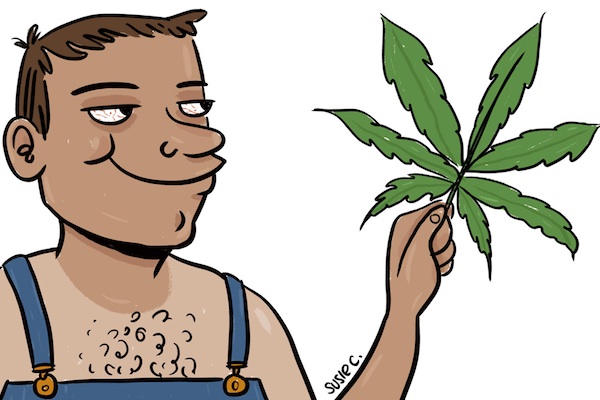
(Illustrations by Susie Cagle.)
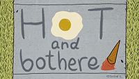
Susie Cagle
We’ll resurface this map as notable incidents hit — and when things cool down in autumn (oh, Decemberish). We hope to have a complete, geolocated picture of every incident that made this The Awful Summer That Was (or Wasn’t, if this climate thing blows over).
A message from
Your support keeps our climate news free.
Grist is the only award-winning newsroom focused on exploring equitable solutions to climate change. It’s vital reporting made entirely possible by loyal readers like you.
At Grist, we don’t believe in paywalls. Instead, we rely on our readers to pitch in what they can so that we can continue bringing you our solution-based climate news. Donate today to keep our site free. All donations DOUBLED for a limited time.