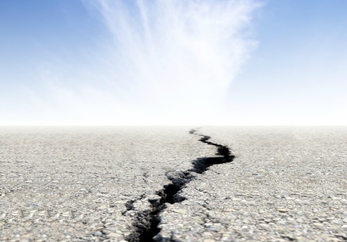
This summer could be dubbed The Great Melt. The belt of ice surrounding the Arctic has melted to its lowest level in history, a record seen by many scientists as evidence of long-term climate change. Adding to environmentalists’ fears, Royal Dutch Shell sunk its first drill bit into the Arctic seabed, taking the first steps in American offshore oil exploration in these frigid waters.
A new book by photographer James Balog, Ice: Portraits of Vanishing Glaciers, captures in vivid color just what’s at stake as climate change erodes ice in some of the world’s most extreme places. Balog shared six of his favorites with Climate Desk:

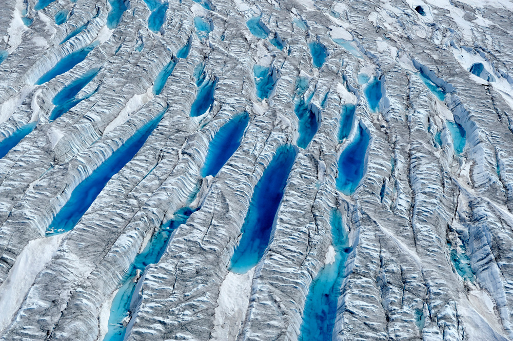
Aerial view, meltwater on Greenland ice sheet. Click to embiggen. (Photo by © James Balog.)
James Balog has spent the last 30 years donning crampons, paddling canoes, and hopping into dog sleds and helicopters to capture the world’s ice on film. He’s been everywhere from Bolivia and Nepal to Alaska and Montana to France and Switzerland, in an ongoing project that he says is “about getting in close to ice and experiencing all its colors and textures and shapes.”
This summer’s record melt in the Arctic, Balog told Climate Desk as he was en route to a glacier shoot in Iceland, is a reminder that “ice is the canary in the coal mine; you can touch and see and hear climate change.”

Bubbles of ancient air rise from Greenland ice sheet as it melts, July 14, 2008. The black substance is cryoconite. Click to embiggen. (Photo by © James Balog.)

Greenland ice sheet, July 10, 2008. Silt and soot blown from afar turn into black “cryoconite,” absorb solar heat, and melt down into the ice. Click to embiggen. (Photo by © James Balog.)

Stein Glacier, Switzerland, Sept. 25, 2006. Click to embiggen. (Photo by © James Balog.)

Stein Glacier, Switzerland, Sept. 17, 2011. Click to embiggen. (Photo by © James Balog.)

Columbia Glacier, Alaska, June 23, 2006. In the mid-1980s, ice filled this valley up to the lower edge of the dark band of vegetation. Ice deflation since then has reached more than 1,200 vertical feet. Click to embiggen. (Photo by © James Balog.)

 This story was produced as part of the Climate Desk collaboration.