Cross-posted from the Natural Resources Defense Council.
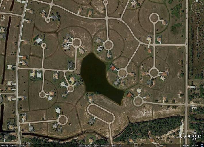 Image: mapei
Posting on boston.com, the website of The Boston Globe, Alan Taylor has presented 26 striking images of Florida sprawl, much of the development unfinished for lack of buyers, and just about all of it within a convenient walk of, well, nothing. Not that you could get there on foot anyway, given how badly disconnected many of the streets are. (Among land use characteristics, poor street connectivity is the best predictor of a neighborhood’s low rate of walking, and the second best predictor of a high rate of driving.)
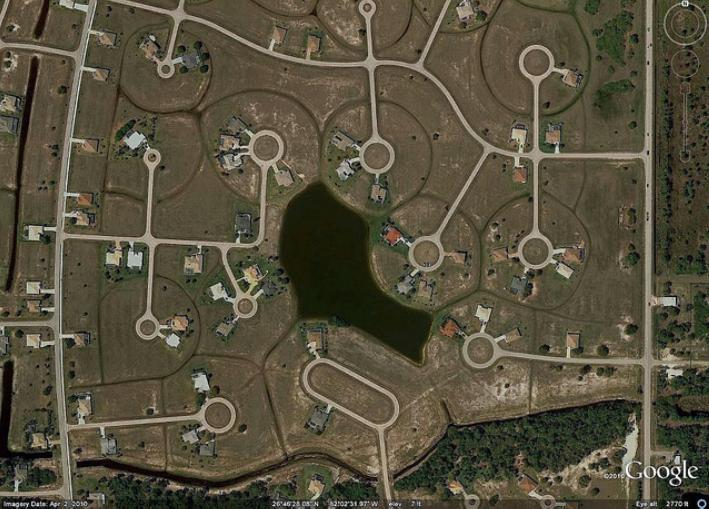
The development above, for example, is “in” Punta Gorda, “near Charlotte Harbor, near Fort Myers,” writes Taylor. For that image, I went to Google Earth and captured it; Taylor has a slightly different one in his post. I then went to Google Earth’s street view feature, which shows one of the, um, “blocks” in that development — looking like this, as of April this year:
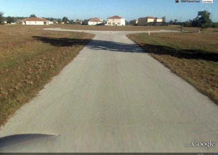 Image: mapei
Pretty bleak, if you ask me. Taylor writes of this region:
Many homes there are empty and have been for years. Huge developments sit partially completed among densely built up neighborhoods and swampland. A guest stated that there were ‘enough housing lots in Charlotte County to last for more than 100 years’. Boom and bust residential development has drastically affected parts of southwest Florida for decades now, and I spent some time (with the help of Google Earth), looking around the area. With permission from the fine folks at Google, here are a few glimpses at development in southwest Florida.
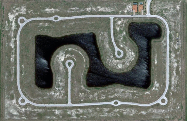 Image: Google
Go here to see the rest of the images, some of which are quite remarkable. (As an aside, it’s fun to find a fellow blogger who likes Google Earth as much as I do.)

