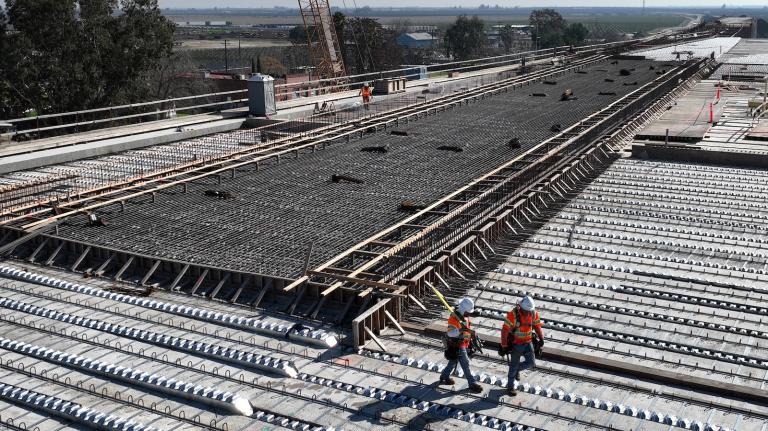
In an increasingly disaster-prone world, where terms like “climate refugee” and “environmental evacuee” are becoming commonplace, figuring out how, when, and why people respond to extreme weather is essential for preparing for the next calamity.
Luckily, researchers are on it. They’re designing ways to mine emails, cell signals, check-ins, and tweets for insights into how people will react to the next hurricane, heat wave, or city-swallowing derecho.
When a city is destroyed, keeping up with its fleeing residents is no small task, says Linus Bengtsson, a medical doctor at the Karolinska Institute in Stockholm. Some go to refugee camps, he says, but others hunker down in the ruins while many scatter to the four winds. Those not in the camps “are not really visible,” Bengtsson says. As a result, they miss out on medical aid, food, and supplies provided by rescue crews.
Following the January 2010 earthquake in Haiti, Bengtsson and his colleagues pioneered a new method of tracking refugees using cell phone data from 1.9 million anonymous cell users. During the immediate aftermath and for the next year, they distributed reports to relief agencies to help them hone their efforts at delivering supplies and medical care.
When cholera struck in October, within 12 hours of receiving data, their system began providing an analysis of how people responded to the disease. Travelers fleeing the infected areas could bring cholera with them, for example, so their report alerted aid agencies where to be on the lookout for new outbreaks.
Among their more surprising findings was that within weeks of the earthquake, people’s trajectories quickly normalized. Many residents left Port-au-Prince about three weeks after the catastrophe and headed straight for friends’ or families’ homes. After leaving the capital, people quickly adopted regular movement patterns — from work, to the store, and home, for example.
The results suggest that, even in a chaotic situation, people’s movements are strongly influenced by their social bonds and historic behavior. In other words, their actions are predictable.
Encouraged by their experiences, Bengtsson and his colleagues are founding Flowminder.org, a nonprofit dedicated to aggregating, analyzing, and disseminating real-time anonymous displacement data following natural disasters in developing countries. The service will be provided free of charge, in the hopes of helping relief agencies deliver the right supplies to the right place at the right time.
Other researchers are also seizing upon the power of communication technologies. Emilio Zagheni, a demographer at the Max Planck Institute for Demographic Research in Germany, got ahold of messages sent by 43 million anonymous Yahoo! users from 2009 to 2011 to see how global populations shifted in almost every country in the world. He revealed a few new trends. Women are increasingly on the move compared to men, for example, and Mexican immigrants to the U.S. make frequent trips back home. Besides teasing out immigration and emigration patterns, he says, the method could reveal if people respond to long-term climate change in the coming years by permanently relocating.
This type of research doesn’t just focus on doom and gloom. Anastasios Noulas, a doctoral candidate in computer science at the University of Cambridge, uses Foursquare to find patterns in people’s movements [PDF] in urban centers around the world. He’s found that the principle factor driving mobility patterns is a city’s density. In New York, for example, the bodega or bar is a short walk away, whereas San Antonio might require taking the car to reach the nearest convenience store or watering hole. The denser the city, the shorter the movements, which in turn influences a city’s underlying culture. “It’s all about understanding ourselves,” Noulas says of his data.
Similarly, Laura Ferrari, a doctoral student in information and communication technology at the University of Modena and Reggio Emila in Italy, uses Twitter to tease out urban mobility patterns. Her work helps predict crowd behavior after a soccer match, for example, or identifies emerging nightlife hotspots. She imagines a future in which data from different technologies are combined to illuminate a single problem. “One social network is not better than the other,” she says. “They all have different scopes so you can use them to understand different things.”
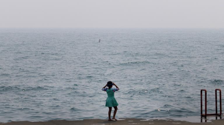
I spent a pleasant week stranded on the Mississippi Gulf Coast after Hurricane Katrina roared through my hometown in 2005. In the storm’s wake, confusion reined supreme. Rumors flew about where aid workers would next be tossing out water bottles like so many Mardi Gras beads, or where gas could be procured with only a nine-hour overnight wait.
I try to imagine how different that experience could have been had FEMA been able to pinpoint where everyone was holed up and where we would eventually go. In the rosy, data-filled future, my storm grievances are replaced with smiling aid workers showing up with juice to fuel the sputtering generator, a fresh change of clothes, and a hug.
And when I finally depart the washed-out coast and head north with a trunk full of soggy belongings, my first FEMA check is already waiting in the mailbox at my new home-away-from-home. A list is beamed directly into my cellphone detailing where to meet other survivors for a much-needed drink, and of course Foursquare is hosting a 2-for-1 check-in special for us evacuees.