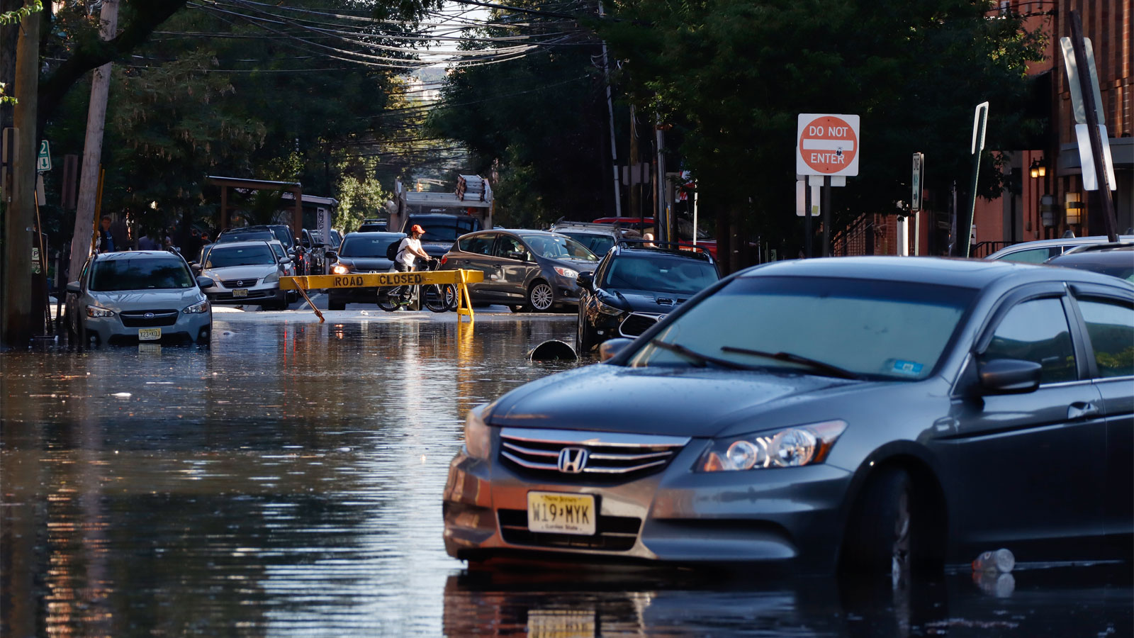
After Superstorm Sandy hit New York in 2012, the city and state spent billions recovering from the storm and building new storm surge protections for its subway system. Seven years after the storm, a reporter asked then–Metropolitan Transportation Authority chair and CEO Pat Foye whether the subway was prepared for another Sandy. “The answer is ‘much better prepared,’” Foye said. But when the remnants of Hurricane Ida rolled through the tristate area earlier this month, the subway ground to a halt anyway, not because of storm surge, but because of extreme, rapid rainfall.
New York City didn’t focus on the wrong thing by investing in storm surge protections like sea walls. Storm surge badly affected the city in 2012, and it could happen again. But designing a flood-resilient city in the age of rapidly escalating climate change requires thinking more comprehensively — each part of the urban landscape needs to play a role. Urban resilience experts interviewed by Grist said it also requires thinking farther ahead, not just about how a policy measure or a piece of infrastructure will serve the city this decade, but two, three, and four decades from now.
Climate change is already intensifying flooding in much of the country, including the Northeast, the Mississippi River Valley, and the Midwest. The air becomes 4 percent more saturated with water for every 1 degree Fahrenheit that the planet warms. When that water comes back down as rain, it’s heavier than it used to be. The most torrential downpours in the Northeast now unleash 55 percent more rain compared to the 1950s, according to the most recent National Climate Assessment, and could increase another 40 percent by the end of the century. Flooding is one of the deadliest forms of disaster in the U.S. — the flooding from Ida’s remnants in the Northeast killed at least 52 people, less than two weeks after flooding in central Tennessee killed 22. This week, Tropical Storm Nicholas is dousing Texas and Louisiana, where the ground is still saturated by Ida’s rains, threatening more lives.
Data about flood risks could help cities make these kinds of events less deadly, but good data is hard to come by. The Federal Emergency Management Administration’s, or FEMA’s, flood maps are outdated and don’t account for “pluvial” flooding, the kind caused directly by extreme rainfall. “What FEMA’s flood maps don’t do is attempt to model the kind of flooding New York City just experienced,” Rob Moore, a senior policy analyst at the Natural Resources Defense Council, said. “This flooding is not caused by a river coming out of its banks, it’s flooding caused by too much water hitting the ground and having nowhere to go because the man-built environment can’t handle it.”
The First Street Foundation, a Brooklyn-based nonprofit that quantifies climate risk from flooding, makes its own maps that take more factors in account, such as intense rainfall. Those maps show that 70 percent of American homeowners are at risk of flooding that isn’t captured by FEMA’s maps. “At the community and city-wide level, the crucial element is to ensure governments have the data they need to understand the true risk to their populations from a changing climate,” Jeremy Porter, head of research and development for First Street, told Grist via email.
In cities, the stormwater infrastructure — street-level drains, concrete sewers that can capture and hold water, roadside ditches, and flood-control reservoirs — are the first lines of defense against intense rainfall. Most urban stormwater infrastructure needs an update. There are large-scale efforts underway in some cities to shore up stormwater infrastructure to better handle extreme flooding. Chicago is building a $4 billion project called Deep Tunnel that will funnel water into three huge reservoirs. North Dakota and Minnesota are constructing a $2.2 billion flood-diversion project that will usher water away from the Fargo-Moorhead area via channels. But these projects are expensive and won’t be completed until later this decade.
In the shorter term, “green” infrastructure projects to alleviate pressure on stormwater systems are the lowest-hanging fruit. Concrete functions like a giant waterslide when it rains — the water flows off of it and into storm drains, ditches, and canals. More green spaces could help soak up some of the water from those intense precipitation events by holding it where it falls instead of channeling it into a drain. But many cities are losing green space.
John Carr, an instructor of emergency and disaster management at Northwest Missouri State University, recently asked his undergraduate students to look at New Orleans, Isle de Jean Charles, Miami, and other areas susceptible to flooding and compare images from Google Maps 15 years ago to the same maps today. “In major cities, what they saw is that most of the green space has now been taken up by massive infrastructure projects,” he said. “We have to be careful because we’re turning cities into one giant sheet of concrete, and that’s going to make those flash flooding events even more serious.”
In New Orleans, some neighborhoods are testing out small-scale, affordable alternatives to concrete like bioswales — troughs of grasses and other plants that can soak up rainwater — and porous concrete blocks that let the water through into drains below instead of letting it pool at the lowest point of a street. These interventions could work in any city.
Preparing for climate change–driven flooding requires thinking carefully about not only which infrastructure to invest in, but which infrastructure not to put any more energy toward. City governments could adopt stronger building and zoning codes that would prevent developers from building in areas that are projected to flood over and over in the coming years. “When you’re trying to get out of a hole, you have to stop digging,” Moore said.
In Norfolk, Virginia, the city government passed a zoning ordinance in 2018 that requires developers to build on an elevated foundation, regardless of whether the property is technically in a flood zone. The ordinance also encourages people to make their way to higher ground by telling homeowners that the city will only be making “judicious” investments in protecting homes from flooding. In other words, the city said what most won’t say: Some neighborhoods are going to experience so much flooding that it doesn’t make sense to try to protect them. That doesn’t mean that homeowners can’t elevate their own houses, but the city basically said, “our energies are going to go into other initiatives,” Moore said. “The streets are going to be underwater no matter how many houses we elevate.” It’s a difficult and unpopular decision to make, but a necessary one. Relocating at-risk populations to safer neighborhoods was agenda item number one on a list of things cities could do to adapt to climate change provided to Grist by First Street.
These interventions can help alleviate the deadly consequences of extreme flooding. But it is yet to be seen whether a specific formula of climate infrastructure and policy can protect 100 percent of a city against flooding or any of the other impacts brought on by climate change. “Can we build our way out of climate change?” Moore asked. “I think the answer is a definite maybe.”
And, putting aside the question of whether it is actually possible to fortify America’s cities against climate change, what happens to the people who don’t get the protections afforded to major metropolitan centers? When Ida hit Louisiana, New Orleans was protected from storm surge by a new and improved, $15 billion system of levees it put in with the federal government’s help after Hurricane Katrina in 2005. But some parishes outside of the walls got swamped. “If fortification is the answer, the questions become: how many places is the federal government going to go to that expense to support that outcome?” Moore said. “And the second question is, who is going to be inside of those fortifications and who is going to be outside of them?”


