You are about to time travel. Off the Pacific coast of South America, the band of warm water known as El Niño is mutating into a freak of nature. At more than 3 degrees Celsius above normal, it’s the warmest El Niño recorded since satellites started measuring sea surface temperatures half a century ago, and it won’t peak for several more months, potentially hitting somewhere around 4 degrees by November or December.
“This event is already in record territory,” said Zeke Hausfather, a climate scientist at the research group Berkeley Earth. “And every model expects it to keep growing.”
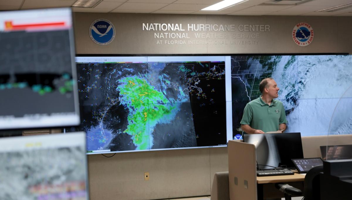
At the same time, this year’s Atlantic hurricane season, which began in June, is shattering records in the opposite direction. On average, by this time of year we should have seen four hurricanes, two of them major. But so far, the Atlantic hasn’t produced even one. The previous record for the latest first hurricane in a season was September 11.
The two events on opposite sides of the Americas are individually extreme and bizarre. But while they’re both record-breaking, they’re not unexplained. In fact, they’re intertwined in a fascinating way.
To understand the link, we need to talk about the ingredients of a hurricane, which you can think of as an engine. The fuel is warm ocean water, which sends energy skyward. This is why hurricanes have grown so much more powerful and destructive in recent years: The more the planet warms, the more high-octane fuel that can go into cyclones. Additionally, hurricanes like high humidity, as masses of dry air tend to break them up. Lastly, they prefer that the wind move in a consistent direction.
The Atlantic is full of warm water right now, so the hurricanes should have fuel. But it’s the wind that’s getting in the way: El Niño increases wind shear over the Atlantic, meaning air moving in different directions and different speeds at different altitudes.
It’s a gusty mess up there, basically. “Hurricanes do not like that,” said Brian McNoldy, a senior research associate who studies such storms at the University of Miami. “So if any manage to form, it can limit how strong they get or how long they live. But so far, it’s managed to suppress anything even being able to form in the deep tropics.” At the same time, El Niño spawns dry, sinking air in the region, which is also anathema to humidity-loving hurricanes. “So it’s really, really a suppressed Atlantic hurricane season,” McNoldy added, “basically due to that very strong El Niño that’s taking shape.”
Humans living on the Pacific side of the Americas, though, won’t enjoy this dynamic. Earlier this week, Hurricane Polo spun up into a monster, transforming from a tropical storm to a Category 5 in less than a day. This is an extreme case of a phenomenon called rapid intensification, defined as an increase in sustained wind speeds of at least 35 mph in 24 hours. Like other hurricanes that have been growing that quickly thanks to waters made warmer by climate change, Polo had plenty of fuel to burn, with the nearby El Niño adding still more. Models show it making landfall in Baja California, Mexico, early next week. Another tropical storm, Nolo, spun up into a hurricane Thursday and could dump several feet of rain on Hawai‘i.
Meanwhile, El Niño is already shooting extra warmth into the sky: Scientists project that in the first nine months of the event, heat could kill 451,000 people globally. El Niño also messes with global weather patterns, increasing rainfall in some places, like California and the Southwest, while significantly reducing it in others, like Southeast Asia, the Amazon rainforest, and parts of Africa. In previous events, this has led to extreme drought. “It’s crop failures in those regions that, at least historically, have driven the biggest economic and human impacts of these events,” Hausfather said.

You might be wondering how just a handful of extra degrees in El Niño waters could ripple across the planet for months on end. In fact, that bump is quite extraordinary. “Those are actually really big changes for the ocean,” said Art Miller, a climate scientist at the Scripps Institution of Oceanography. “The ocean has a lot of heat content — 1,000 times more ability to hold heat than the atmosphere — so slight changes in the ocean surface temperatures can actually do a lot for the atmosphere.”
While Earth’s temperature will fall once the phenomenon wanes, this is a preview of what the world will look like all the time just 20 years from now as humans continue to bake the planet. Imagine future El Niños layered on top of those higher baseline temperatures.
Now the question is what governments can do to prepare. As droughts take hold, they’ll need to marshal every water resource they can, especially for the people who feed us. At particular risk are the world’s subsistence farmers — if they can’t grow food, they can’t eat or sell their surplus for income. “One of the big things is getting ready for crop failures,” Hausfather said. “Stockpiling food supplies, making sure there’s financial transfer systems to give money to farmers whose harvest fails, so they can buy food.”
And as landscapes turn to tinder, governments will have to reduce fuels and prevent fires. For one, controlled burns clear out dead brush, so if a blaze does break out, it doesn’t obliterate entire ecosystems and threaten towns. Many farmers also burn waste biomass — cracking down on that will mitigate at least one common way wildfires start. Still, fires will break out, no matter how hard anyone tries to prevent them, so there will be a growing need to stockpile fire-fighting equipment and train more firefighters.
Keep in mind that the many consequences of this El Niño are adding to the already extreme consequences of climate change. Temperatures are already extra high, landscapes are already bone-dry, and crops are already super-stressed. “Everything’s happening on a baseline that’s much hotter than it was a century ago, which makes these impacts correspondingly more severe,” Hausfather said. “It’s a little glimpse of what the planetary climate will look like.”