In olden times, back when people wore pocketwatches and used the word “gallimaufry,” Chicago’s transit system was simple. People from the city outskirts took the train downtown for work, then they hopped back on the L and schlepped home.
Nowadays, shit’s different. People live even farther out than before (sprawl!). New business hubs have sprung up — downtown isn’t the only game in town, you might say. All of this forces people into their cars. (Well, that and the fact that when you’re in a car it’s harder for strangers to judge you while you eat Doritos Locos.)
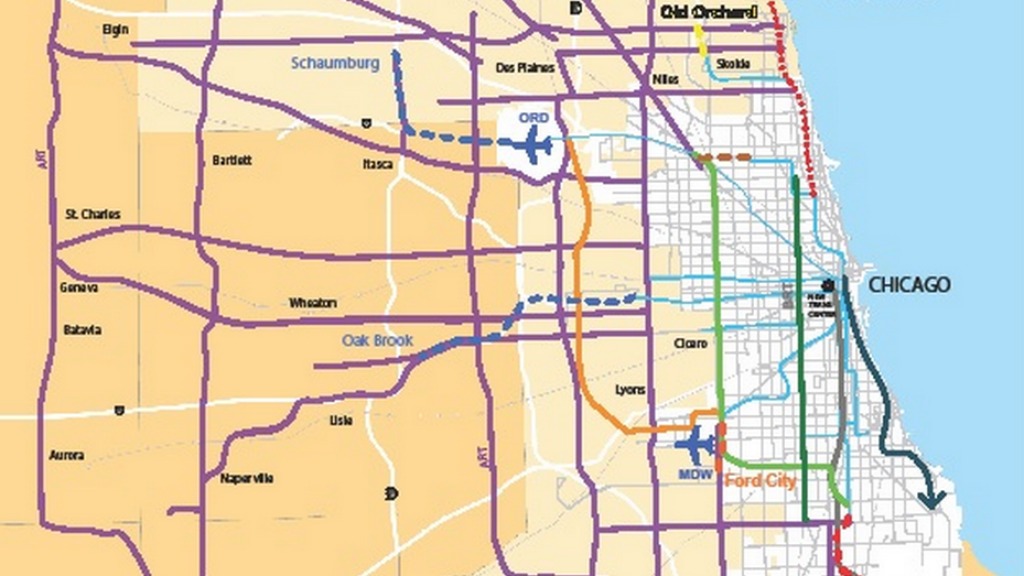
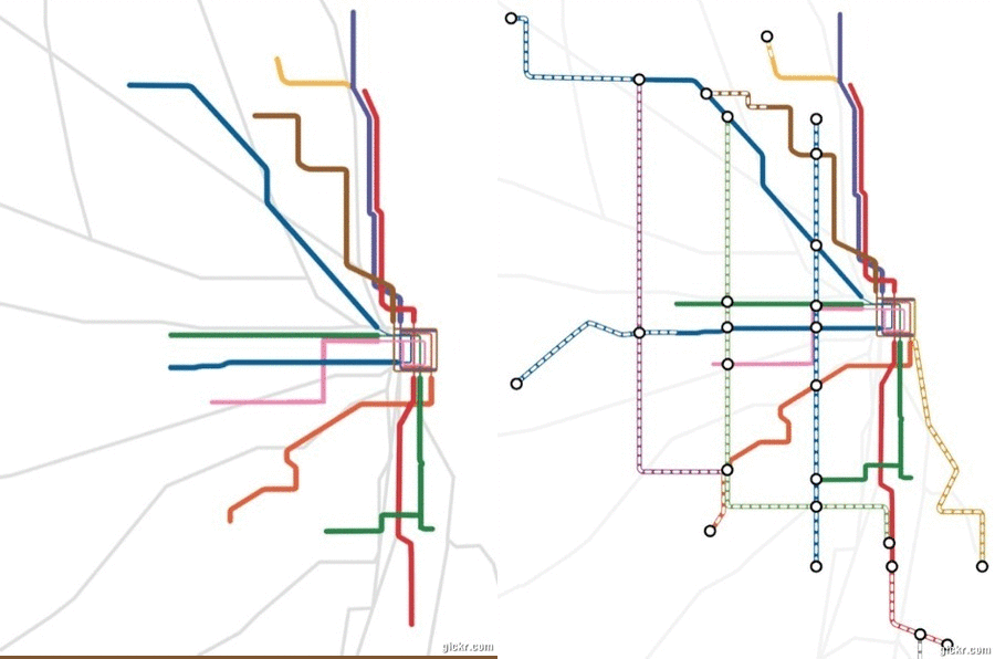
So the Center for Neighborhood Technology and the Active Transportation Alliance just proposed a new, expanded transit map to serve the Chicago of today and tomorrow. Here it is, juxtaposed with the existing rail system:
The vision includes new routes to help commuters, as well as Bus Rapid Transit running north-south, which would work like a street-level subway that could speed through rush-hour traffic by making traffic lights change. (It’d link five El lines and commuter rail.)
Granted, this would cost about $20 billion (gulp). But as TransitFuture points out, L.A. raised $40 billion for transit in 2008 by bumping up the county sales tax by only half a cent. Check out TransitFuture’s detailed walkthrough and see if you aren’t persuaded that the town could toddle a little more efficiently.


