When storms like last year’s Hurricane Ida come barreling toward the mainland U.S., the first thing they often strike are barrier islands: wisps of land that run parallel to the shore, shielding the Atlantic and Gulf coasts. Around the world, they can be found protecting some 10 percent of the planet’s shores, from the Venetian Lagoon to Brisbane’s Moreton Bay. But a new study suggests they will start retreating faster toward the mainland as a delayed effect of sea level rise — diminishing their ability to protect coastlines from storms.
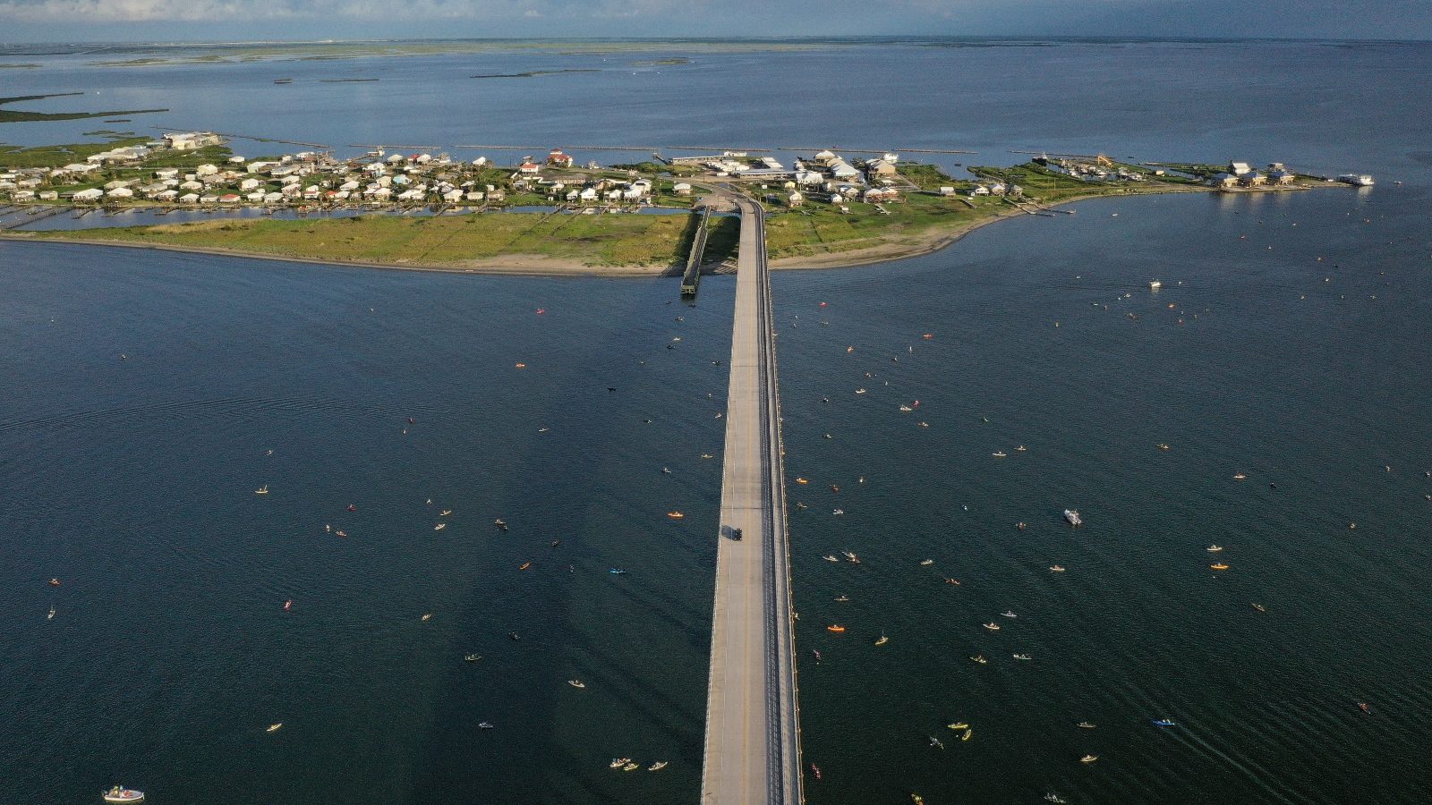
The fate of barrier islands like Alabama’s Dauphin Island and New York’s Fire Island is important for all coastal residents, even if they don’t live on them. Barrier islands shield the mainland from hurricanes, waves, erosion, and flooding, taking the brunt of a storm’s early blows. Without them, experts say hurricane damage to towns and cities inland would be even worse. Last year, Louisiana’s Grand Isle, the state’s only inhabited barrier island, faced Hurricane Ida head-on. Nearly half the homes there were demolished, and no structure was left untouched.
“These findings can be applied all over the world, but they may be particularly significant in the U.S., where houses are being built extremely close to the beach,” said Giulio Mariotti, a coastal scientist at Louisiana State University and lead author of the study, in a release. Previous studies have estimated that 13 million Americans could be displaced by rising seas, and $1 trillion worth of coastal real estate could be flooded by the end of the century. In May, a viral video of a stilted vacation house on a barrier island in North Carolina’s Outer Banks offered a picture of Americans’ precarious existence on the coast when it collapsed into the ocean.
The scientists created a model based on measurements from a string of islands off the Virginia coast. The islands are uninhabited, so they’re useful for studying a system free of common interventions like sea walls or jetties. Even though climate change has accelerated sea level rise over the past century, the Virginia islands have experienced little change to how fast they migrate, meaning they erode and build up sand in different places, leading them to shift location over time. The model shows that won’t always be the case.
As the seas modestly rose over the last 5,000 years, they created a vast reserve of sand and muck across the coast. Over the last century, storms and tides have devoured that sediment, clearing the way for barrier islands to shift gears. Now that the reserve has been depleted, the scientists expect rising sea levels will hasten the islands’ movements. Even in the unlikely case that the pace of sea level rise remains the same, scientists predict the rate at which the Virginia islands retreat will accelerate by 50 percent — from 16.5 feet per year to 23 feet — in the next century. If the seas keep rising, as experts expect they will, the islands would get pushed even closer to shore, leaving coastal communities even more vulnerable.
“This study shows that what we are seeing out there today is only a hint of what’s to come given increasing rates of sea level rise, and what is likely in store for developed islands globally,” said Christopher Hein, a co-author of the study and coastal geologist at the Virginia Institute of Marine Science.
The scientists noted their prediction may be conservative, since their model doesn’t account for the strength and frequency of storms, both of which hurry barrier islands toward the mainland.


