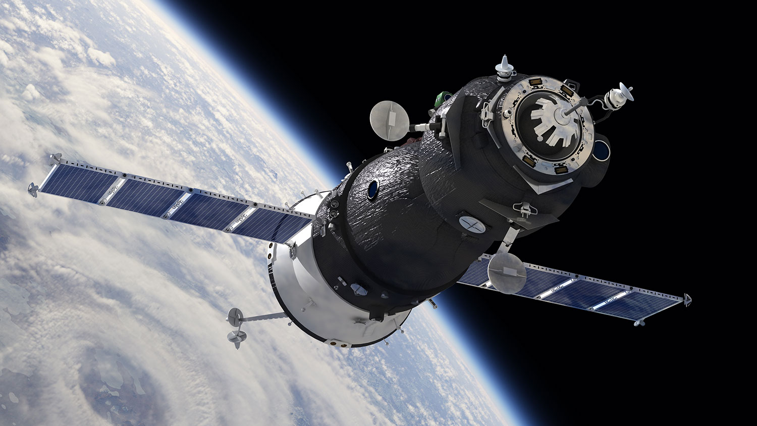
One more thing space is really good for, besides wow factor: Giving us a place to keep an eye on things happening on Earth — or in some cases, even things happening under the earth — with satellites.
Specifically, these satellites can help us keep an eye on our hidden water supplies. At the moment, California’s surface water is so scarce that the state has been sucking it from underground at an incredible rate. Groundwater reserves (like aquifers) are built up over decades or centuries, but they can be emptied in just a couple of years of industrious pumping. As water is vacuumed out of these huge underground lakes, the land above them starts sinking — and it turns out satellites can track the changing elevation better and more cheaply than eyes on the ground.
Here’s the story from Wired:
Earlier this week Tom Farr, a geologist at NASA’s Jet Propulsion Laboratory in Southern California, completed the first of many maps for the California Department of Water Resources with data collected by the European Sentinel-1 satellite. That map, of the state’s agriculture hub in the Central Valley, is part of a larger project to use NASA expertise to study—and try to help combat—California’s drought.
There are non-space-based ways to assess groundwater levels, but those are expensive and (face it) way less cool:
The state can monitor groundwater directly by measuring water levels within wells—but digging new wells is expensive, and existing wells may be on private land. …
Traditional land surveying techniques can also track water—but that method is labor-intensive. After days of painstaking measurements taken with tripods and levels, a surveyor will be left with one small area of measurement. Surveyors can also use GPS data, Farr says, but there are very few GPS stations in the Central Valley.
A better way, Farr says, is to use interferometric synthetic aperture radar, or InSAR. This technique, first developed about a decade ago, monitors changes in ground formation.
The satellite method — involving radar beams! sine waves! snazzy acronyms! — still needs some refining to be able to accurately assess groundwater, but the technique remains promising.
Jessica Reeves and Rosemary Knight, geophysicists at the Stanford School of Earth Sciences, were among the first people to apply this technique in this way, and Knight’s team continues to refine the calibrations linking ground level to groundwater levels.
The sinking that they’re tracking—as much as a foot a year in some places—threatens to become an enormous problem. That’s not just because the water will eventually run out, which (if pumping continues unabated) it will. It’s a more immediate threat to surface-level infrastructure: aqueducts, bridges, roads and train tracks. Damages due to sinking land in Santa Clara Valley is estimated at more than $756 million.
So to the list of benefits satellites offer us — rural HBO, prank calls from Antarctica, galactic posters — we can now add “monitoring California’s drinking problem.” Thanks, satellites.


