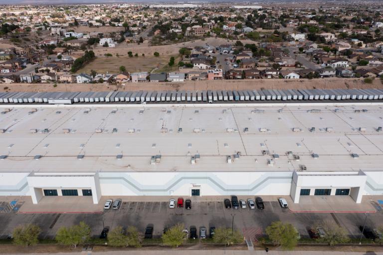
Darya Minovi was mapping pollution from medical sterilization plants across the country when many of the communities she was speaking to began asking the same question. The facilities emit ethylene oxide, a potent carcinogen, and those who lived nearby wanted to know how much the emissions were increasing their cancer risk. She turned to data compiled by the Environmental Protection Agency to find out.
The resulting maps, published in 2023 by the Union of Concerned Scientists, a nonprofit where Minovi is a researcher, revealed that more than 14 million people lived in a 5-mile radius of ethylene oxide-emitting facilities. Crucially, the map highlighted 23 sterilization facilities that the EPA had found emit ethylene oxide at levels that definitively contribute to elevated cancer risk. The project helped raise awareness and was used to push the government to tighten limits on ethylene oxide emissions.
But now, the cancer risk data that made Minovi’s analysis possible has quietly gone offline. After more than two decades of sharing this information with the public, the Environmental Protection Agency has omitted cancer risk estimates from its latest update to national air pollution data. The agency is continuing to release raw pollution figures, but it is no longer providing information on the additional cancer risk that the emissions cause. It has also not updated its searchable U.S. map of cancer risk from air pollution with the most recent data.
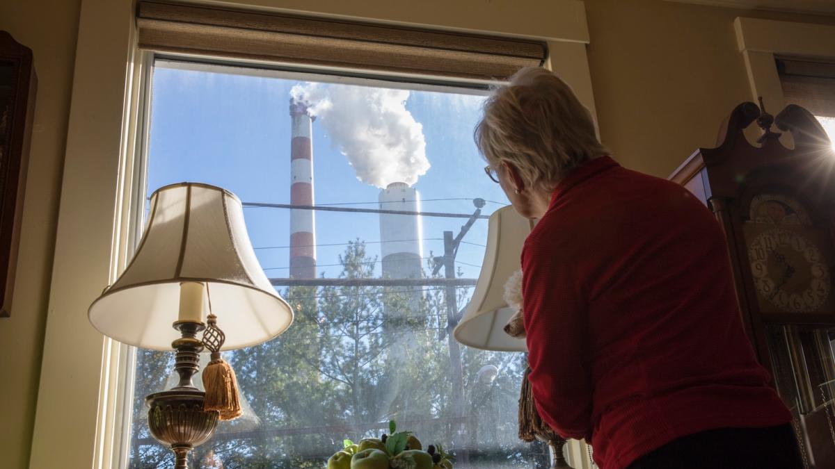
The risk assessments are routinely used by communities to understand the effects of the pollution in their neighborhoods, as well as by journalists and nonprofits to inform the public and hold polluters accountable. Withholding this information would shift the burden of interpreting pollution data — a technically demanding task requiring specialized experience and an understanding of EPA protocols — onto the public, Minovi said, making it harder for communities to access this vital public health information.
“At the end of the day, the people who are living in communities with concentrated sources of pollution are frankly the ones to lose,” she said. “They end up caught in a bureaucratic and political tug of war, and they’re not being protected as they should be.”
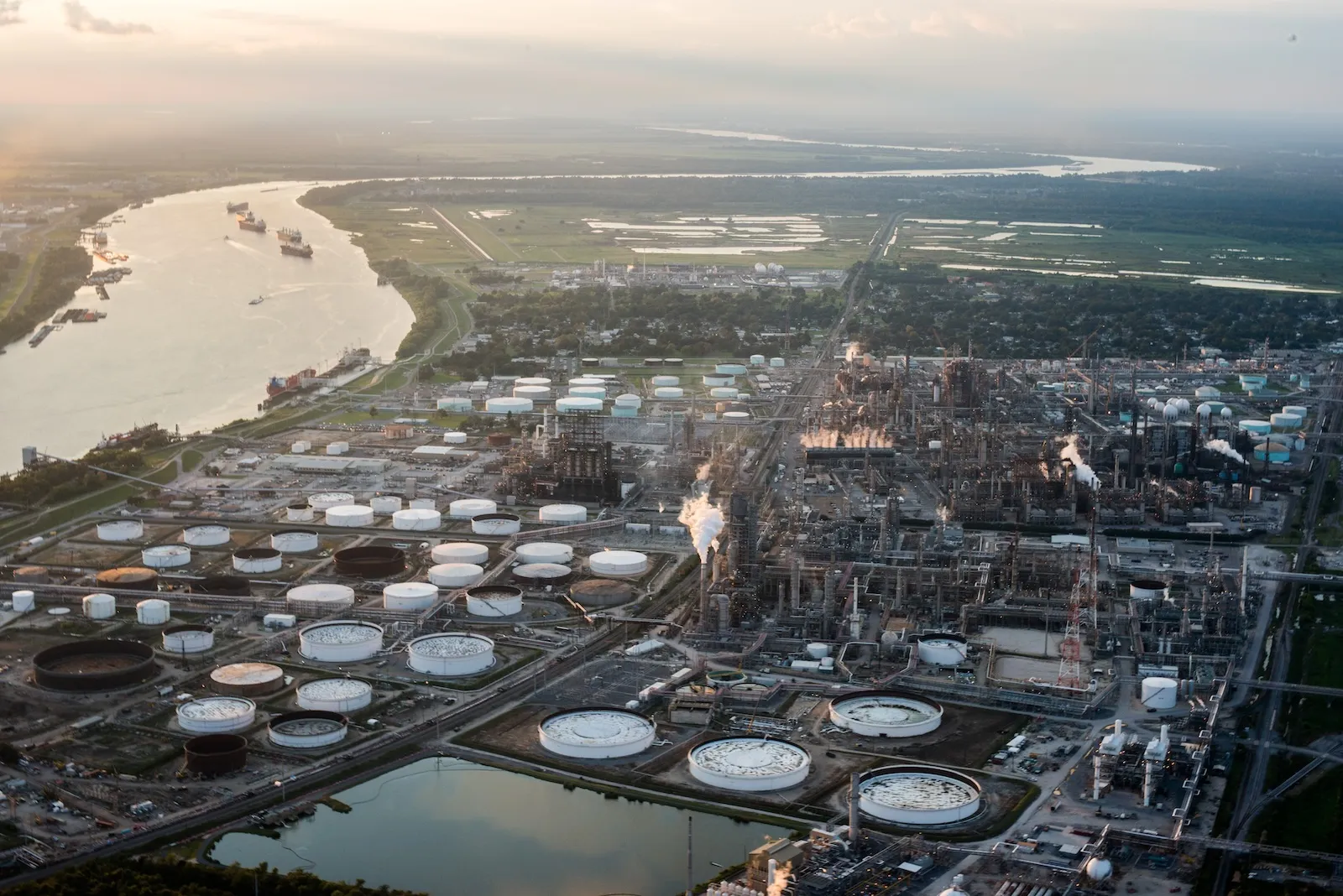
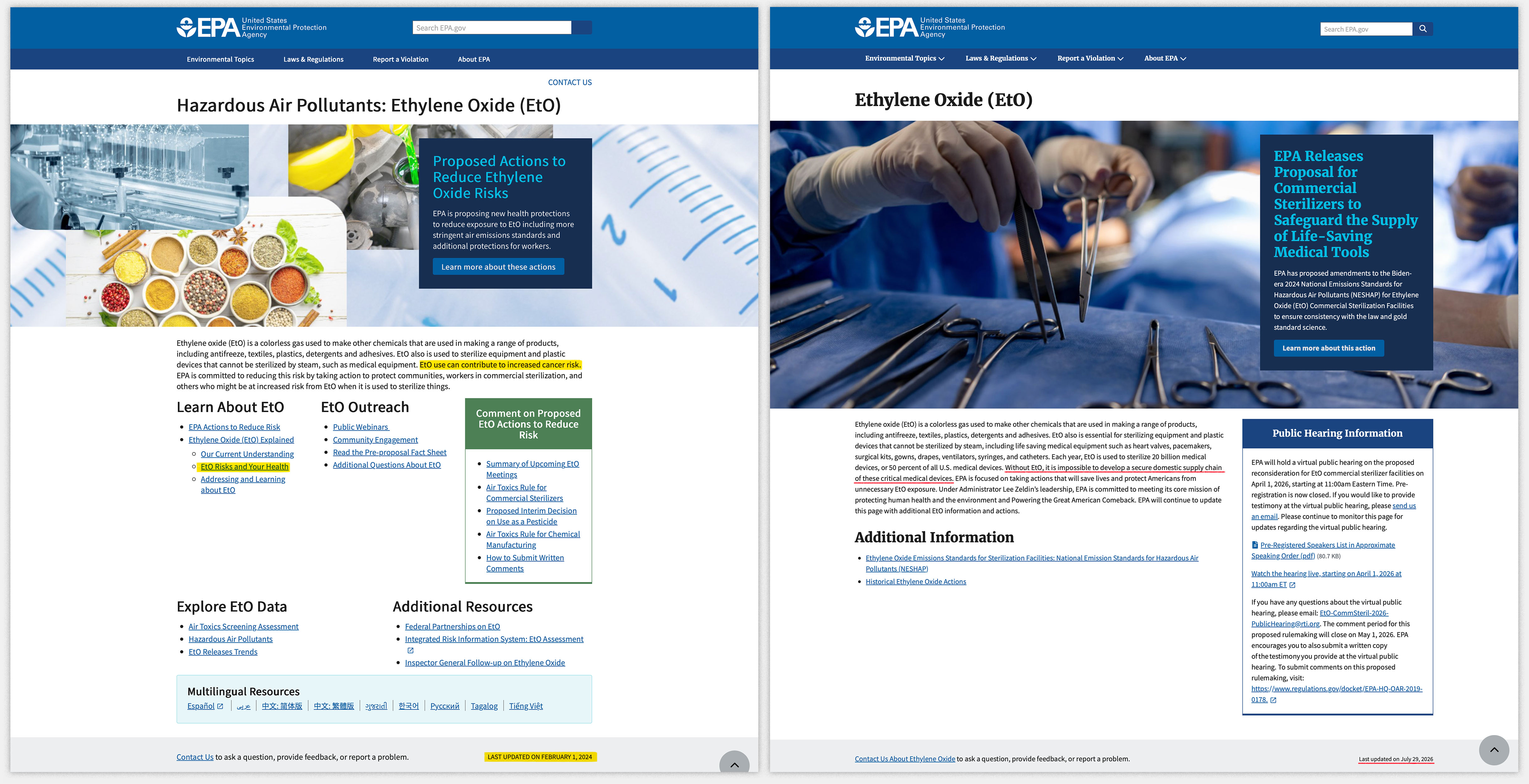
The Trump administration has made it significantly more difficult to access environmental data. So far, the administration has modified or removed nearly 2,000 webpages and datasets on science, climate, and environmental topics. Last year, the EPA discontinued a tool that allowed the public to search its inventory of facilities that handle large volumes of hazardous substances by ZIP code. It also shut down an environmental justice screening tool known as EJScreen, which was the EPA’s flagship tool for tracking environmental hazards across the United States and mapped industrial pollution hot spots alongside demographic data, revealing which communities face the greatest health risks. And some of the agency’s webpages about pollutants, like ethylene oxide, have been modified to remove information about cancer risks and emphasize their industrial usefulness.
Inyang Uwak, a research and policy director for Air Alliance Houston, a nonprofit advocacy group in Texas, said that the administration’s cuts tend to prioritize industries at the expense of public health.
“It’s unfortunate because this data is highly useful to organizations such as ours that use it,” she said, adding that scientists and policymakers also need the data to make informed decisions. “It’s a disservice to public health in general.”
The EPA has been publishing the cancer risk data periodically since 2002 as part of a program called the Air Toxics Screening Assessment, which details the concentrations of dozens of toxic pollutants across the country down to the census block level. The agency began releasing the data on an annual basis in 2022, but the information is typically several years out of date because of the time required to compile the information. As factories and other polluting facilities are built, shut down, or expand, local pollution levels can change dramatically. The yearly updates to the cancer risk data provided communities with the most current information available about those changes.
Had the updates arrived on schedule this year, the agency would have released data on the cancer risk from emissions in 2022. Instead, the most recent update was published a year late and represents emissions data from 2021.
It was only made available on a public-facing webpage this summer after Tai Lung, a senior advisor for federal data policy at the Federation for American Scientists, reached out to the agency. Lung had previously worked at the agency for more than a decade as the lead of EJScreen, which also used the data, before the Trump administration suspended him alongside 170 colleagues.
Carolyn Holran, an EPA spokesperson, told Grist that the agency “will continue posting the annual nationwide air toxics emissions and concentrations data when it becomes available,” but did not address the missing cancer risk data. Holran also did not answer Grist’s questions about why it did not release the cancer data this year and whether the agency is still making this calculation internally.
“EPA is committed to fulfilling our core mission of protecting human health and the environment and ensuring clean air for all Americans, while following gold standard science,” she said.
Lung said the agency’s decision will make it harder for the public to understand how pollution affects their health. “So now we’re just sharing this raw data, which really means nothing to anybody,” he said.
The United States has one of the highest cancer incidence rates in the world. Nearly 40 percent of all Americans will receive a cancer diagnosis at some point in their life, and more than 2 million new cases are diagnosed each year. Living near industrial sources of certain pollutants, like benzene, formaldehyde, and ethylene oxide, can increase a person’s chances of developing cancer. Louisiana’s so-called “Cancer Alley,” neighborhoods near the Houston Ship Channel, and the southeast side of Chicago are all home to a concentration of industrial operations and have become cancer hotspots.
Cancer risk assessments are at the core of the regulatory work that the EPA does. The EPA has long set “acceptable thresholds” for how much exposure to industrial pollution is allowed in an area. The agency generally follows limits of one additional cancer case per 10,000 people exposed over their lifetime. (The agency has also said that cancer exposure would ideally be far lower, at one in a million.) When a new polluting facility applies for a permit or when the agency considers new rulemaking, it assesses whether the change will raise the cancer risk in the area above this threshold.
Many of the administration’s regulatory changes fall into one of two patterns, said Denice Ross, director of the Data Policy Institute at the Federation of American Scientists and a former U.S. chief data scientist during the Biden administration.
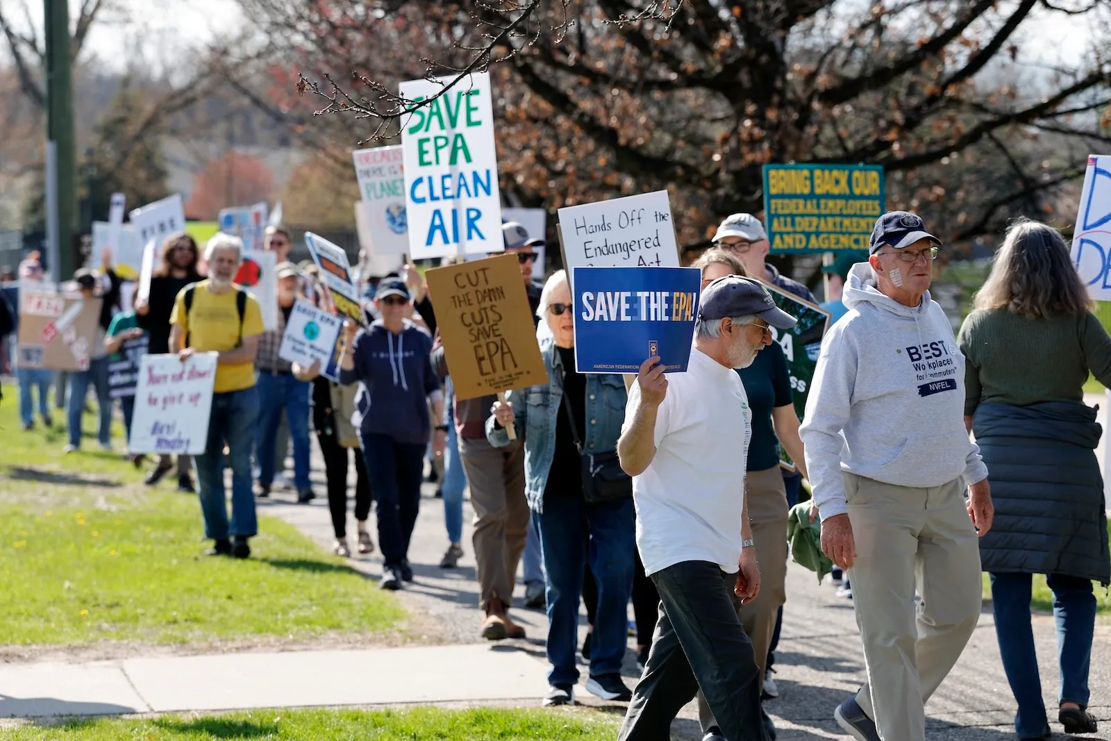
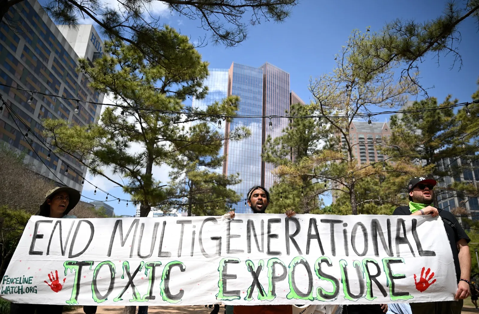
Jeff Kowalsky / AFP via Getty Images
The first is the deliberate removal of data that conflicts with the administration’s priorities, or casts its policies in an unfavorable light. Information and projects that focused on diversity, social justice, gender, and climate issues were among the first to disappear, she said.
The second trend is data being lost as a consequence of the sweeping funding and staffing cuts to scientific research at agencies and institutions. There is now more red tape and political approval needed to accomplish tasks that were once routine, she said.
The services that agencies provide “have historically been invisible infrastructure,” Ross said. “There’re so many things that we take for granted about federal data in our lives, and the people aren’t taking that for granted anymore.”
Some of these cuts contradict President Donald Trump’s own policies. In 2019, during his first term in office, Trump signed the OPEN Government Data Act, a law that established government-wide requirements to make federal data more useful and accessible to the public. Federal law also requires agencies to provide adequate notice when substantially changing or ending significant sources of information, such as the Air Toxics Assessment. But many of the recent changes are “just sort of quietly happening behind the scenes,” Ross said. “And if you don’t know where to look, you won’t find it.”
Recently, some organizations have begun preserving lost EPA tools, like EJScreen, by recreating them or releasing unofficial copies. But these versions still rely on updates to federal data and do not carry the same authority as government assessments.
Many communities also don’t have access to the expertise or training necessary to interpret raw EPA data, said Elizabeth Bechard, a public health manager at Moms Clean Air Force, a nonprofit advocacy organization. The group often uses EPA data to equip families fighting against polluting industries in their communities with the data they need. Ending the cancer risk assessment, Bechard said, will make it harder for people to get involved.
“The public deserves to have that information about that risk so that they can be equipped to push back,” she said. “We’re trying to protect people. It’s not just a math equation.”