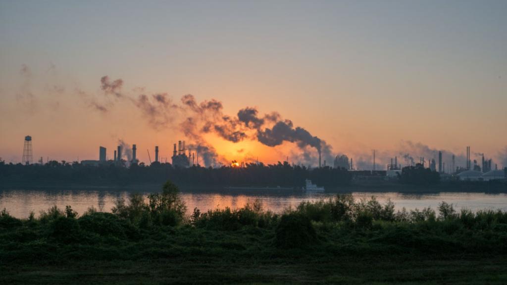
In an effort to educate the public about correlations between cancer rates and environmental factors, the New York state legislature just passed a bill that would create a detailed map of cancer cases in the state. The online map would plot the neighborhoods of cancer patients as well as the location of industrial facilities like chemical manufacturers and power plants. “It’s a necessity for us to better understand the health problems we face in our community,” said state Assemblyperson Donna Lupardo, a cosponsor of the bill. State health officials would also collect other information on cancer patients, including some of the potential causes of their ailment, such as pollution, genetics, employment history, etc. New York already maps the number of cancer cases by county, but the new map would be much more detailed.

