Shutterstock
Global warming and hurricanes are like Bourbon Street and Hurricanes: The farther down the road you go, the more intense they get.

Shutterstock
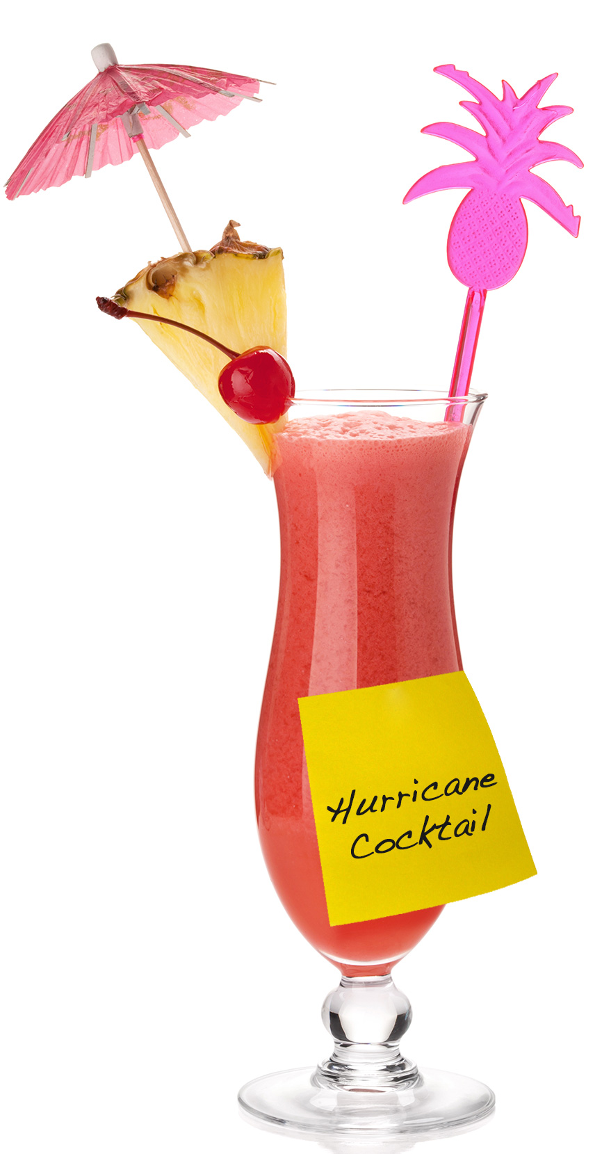
Buy your Hurricanes at the Hard Rock Café, and you can probably make it through a third before you’ve dimmed enough to believe the Republican talking points on climate change. But by the time you get to The Marigny, they’re making those things with three kinds of rum, a half-gallon of rocket fuel, and the soul of an angry leprechaun.
Most climate models predict the same thing with storms: The more we stray from the climate norm, the stronger the hurricanes become. Which makes a lot of sense when you look at how these tempests work.
Letting off steam
Consider the pressure cooker, which isn’t only great for making soup in seven minutes, it’s also a great way to think about hurricanes. As a pressure cooker heats up, pressure builds until the system can’t hold it anymore and the relief valve lets go, venting steam. A hurricane’s job is much the same: “The fundamental role of hurricanes in the climate system is to pump heat out of the ocean,” says Kevin Trenberth, head of the climate analysis section of the National Center for Atmospheric Research.
 These massive storms, which can reach 600 miles across — so big they wouldn’t quite fit between Tijuana and San Francisco — dredge heat from up to 1,000 feet below the ocean’s surface. A hurricane can release heat energy to the tune of 200 trillion watts, or the equivalent of a 10-megaton atom bomb every 20 minutes. The heat is dispersed through the powerful winds and ultimately shot out into space. “Hurricanes do that more efficiently than any other way,” Trenberth says.
That’s the good news: Hurricanes are great at dissipating heat, and they could help to mitigate the most dire consequences of global warming. (These storms actually leave a cold swath of ocean in their wake.) The problem is, most climate models predict that the system — you know, our planet — will generate more powerful hurricanes to keep up with the rising temperatures.
Add heat and stir
A hurricane, or tropical cyclone, requires thunderstorms to get things going. The moist air over the ocean feeds the storms, which grow until some sort of disturbance — often big waves like those kicked west into the North Atlantic from Africa — whips things up. The coriolis effect, caused by the spinning of the Earth, then gets the storm spinning — counter-clockwise in the Northern Hemisphere, clockwise in the southern.
Once things get moving, a hurricane requires clean, stable air tens of thousands of feet over the ocean’s surface, as lots of wind shear would blast the storm apart before it had a chance to form. But more than anything, the storm needs heat. The eye needs to stay warmer than the air around it, because warm air in the eye rises, drawing wind and moisture toward it, feeding the storm and making it more powerful.
And that’s where human-caused climate change comes into the picture. Ocean temperatures are rising around the globe. In the North Atlantic, which hurls hurricanes into the Eastern Seaboard, the surface temperature has risen about 1 degree C since 1970.
For hurricanes, heat is the fuel; the hotter the oceans, the stronger the storms.
A recipe for disaster
Not only does the heat provide more fuel for devastating hurricanes, like turning up the heat on the pressure cooker, but warmer air above the hotter oceans also holds more water vapor. “That affects all storms: It leads to heavier rainfalls,” Trenberth says.
And the effect is not linear. It scales up, making the most powerful storms far stronger. That 1 degree C rise in temperature has led to about 5 percent more water vapor over the Atlantic, but the storms don’t just get 5 percent stronger, Trenberth says. The water vapor “gives the storm extra buoyancy, so you could argue you get as much as a 10 percent increase in the power of the storm.” He estimates that the the real number is probably somewhere in between 5 and 10 percent.
These more powerful storms are also riding higher oceans. Globally, sea level has already risen to the tune of eight inches since 1870. In many places, the rise is even greater. Higher baseline sea levels give storm surges a running start.
Mix it all together and you get hurricanes strengthened with performance-enhancing heat, combined with the torrential rains exacerbated by warmer, wetter air, hitting cities that have essentially sunken into the swamp (the swamp that we’ve destroyed by taking out wetlands that actually might have provided some protection from these storms).
It’s a nightmare scenario. It’s, well, Superstorm Sandy.
“In the New York City area, sea level has gone up about a foot,” says Trenberth, “and [Sandy] was about 5 to 10 percent stronger because of climate change, and I have no doubt that these [factors] led to the topping of the barriers and the flooding of the subway tunnels. That 40 or 50 billion dollars of the cost of Sandy — that was because of climate change.”
Bigger ≠ better
We’re messing with hurricanes in other ways, too, says Jim Kossin of NOAA’s Cooperative Institute for Meteorological Satellite Studies. The Clean Air Act, for instance, led to a reduction in airborne aerosols (aka pollution) over the Atlantic. Great, right? Unfortunately, fewer aerosols mean clearer skies and less reflective clouds, leading to more solar penetration and, you got it, an even hotter ocean.
And when the storms hit urban areas, all of that crap we still pump into the sky in our cities bites us again. Airborne pollutants act to seed the outer bands of the storm. This draws energy from the hurricane’s eye, weakening it, but that’s a mixed blessing at best. The outer bands now rain harder and even grow, and the storm, while perhaps weaker, can become far larger and more damaging.
As an example, Kossin points to Hurricane Charley, which struck Florida in 2004. It was a remarkably powerful storm, nearly Category 5. With winds over 150 mph, it was the strongest hurricane to hit the U.S. in a dozen years. But Charley was small; its eye was only five miles across. When Katrina hit the Gulf Coast the following August, it was only a Category 3, with wind speeds nowhere near Charley’s. The eye of Katrina was nearly eight times larger than Charley’s, however, and the storm spread 400 miles from end to end. Its immense area led to massive devastation.
With hurricanes, Kossin says, “size really does matter.”
More storms, or just bigger?
Kossin sums up the situation thusly: “Almost every factor that tropical cyclones like has gotten more likeable.”
But will hurricanes find our new climate so likeable that they not only become stronger, but more frequent as well? Here, the science is unsettled. One recent model by Kerry Emanuel of MIT makes some worst-case assumptions and predicts hurricanes getting stronger and more frequent. The majority of climate models, however, predict we won’t see more hurricanes — they’ll just get a hell of a lot worse.
Which is bad enough. Because hurricanes are a lot like Hurricanes: When you go ordering doubles, it doesn’t matter if you get six or 10; either way, you’re getting hammered.


