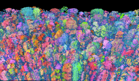
Carnegie Airborne ObservatoryClick to embiggen.
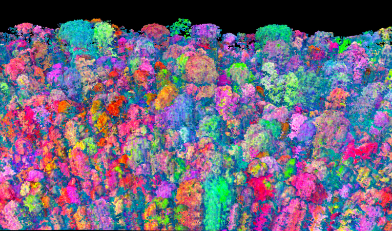
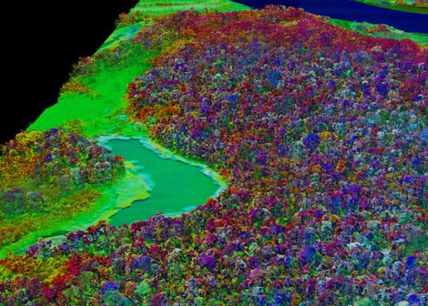
The Carnegie Airborne Observatory’s Airborne Taxonomic Mapping System (AToMS) is just an array of smallish sensors packed into a plane, but when researchers fly it over the Amazon rainforest, it turns the landscape below into a dazzling psychedelic wonderland that wouldn’t have been out of place on a dorm wall in 1968. But the CAO scientists aren’t just looking for something to stare at while they pack their bongs. Data from AToMS’ spectrometer images could help them to save threatened rainforests.
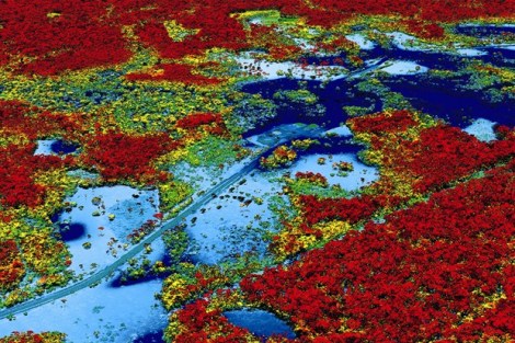
The AToMS sensors can generate a 3D model of the landscape that shows chemical components like water, nitrogen, carbon, and chlorophyll. Based on chemical signatures, scientists can tell at a glance not only how many trees are living in the rainforest below, but what species they are, how they’ve changed, and whether they’re thriving. All of which is necessary information for figuring out how best to help the rainforest ecosystem.
“It’s like taking an X-ray of an entire landscape, plant by plant, and each tiny hill,” said Greg Asner of the Carnegie Institution for Science. “We can see how just a 1- or 2-foot change in ground elevation can create a new habitat for rainforest species, with measurable effects on the rainforest biomass. AToMS consistently reveals something we didn’t know, and often many things we had never considered.”
The new technology can measure ecosystem chemistry, biomass and biodiversity – information that can be used to help mitigate climate change, conserve forests and manage ecosystem. AToMs can even detect the water content of leaves, detecting which plants are under stress from drought, which may increase in the near future.
Plus, I mean, it looks badass. Here’s a video of what an Amazon flyover would look like in AToMS-o-vision:

