When torrential rain doused the Texas Hill Country last month, Paul Welch stayed up past his bedtime checking radar and rain gauges on RiverHub, the Upper Guadalupe River Authority’s new tracking website. At midnight, comforted by what he saw, he went to bed.
Four hours later, his phone rang. It was a neighbor, the same fellow who had awakened him the previous July, just before floodwaters swamped Welch’s riverfront cabin near Comfort. “Get up. Get out. Quick,” he said, speaking calmly into the phone. The water at Center Point, 4 miles upstream, had risen 25 feet as Welch slept. A wall of water was heading his way.
Welch and his partner, Elizabeth Hastings, could hardly believe it was happening again. This time, they knew what to do: Hastings tossed the guns, jewelry, paperwork, and medication into the Sprinter van and drove through the downpour to a gas station already crowded with vehicles. Welch moved his tractor, golf cart, and other essentials to higher ground, then joined his neighbors on the same high spot near the highway where they’d gathered the last time this happened. For the second time in 12 months, they watched water tear through the valley, roiling and churning with more power than Welch had ever seen.
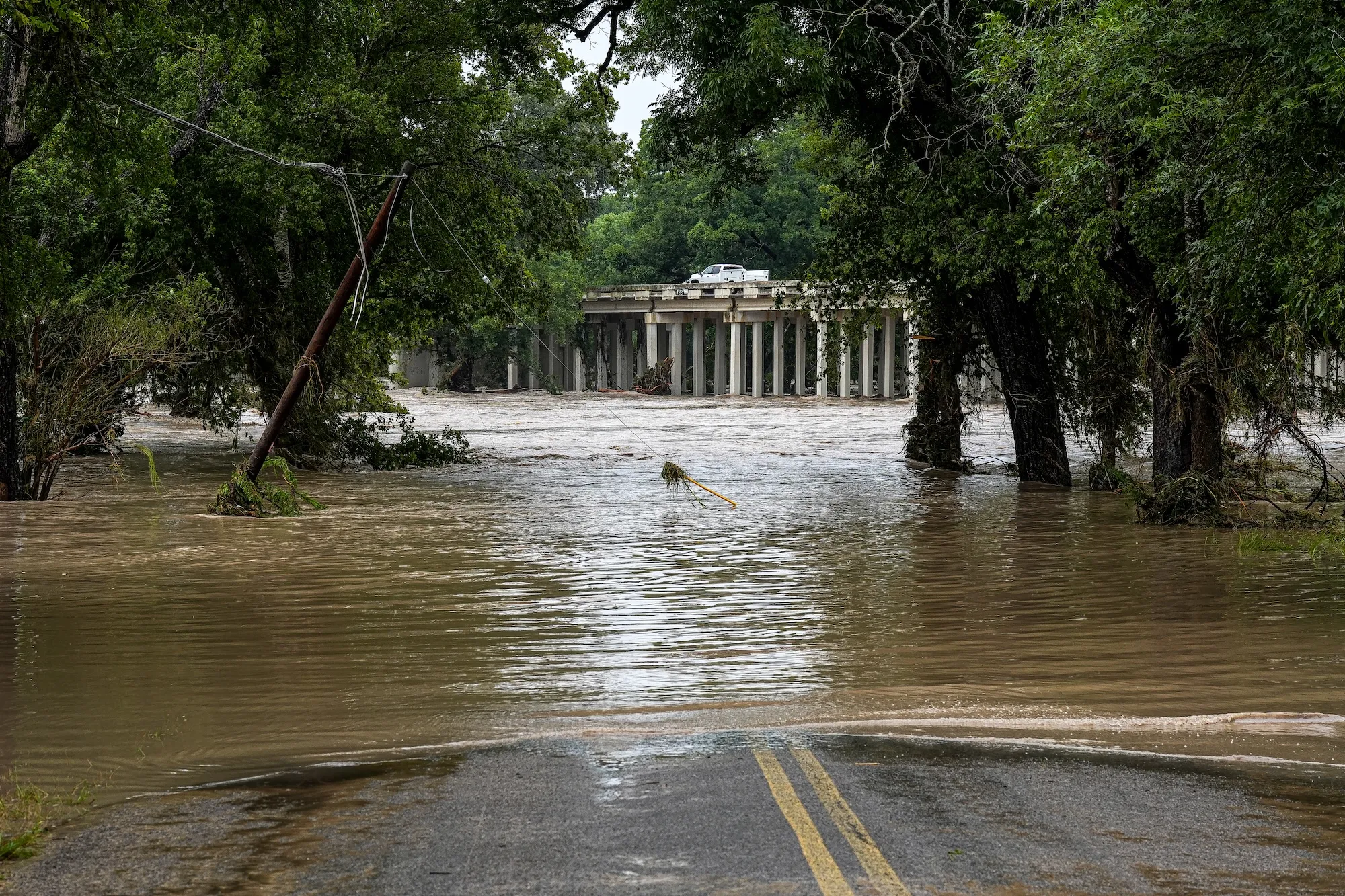
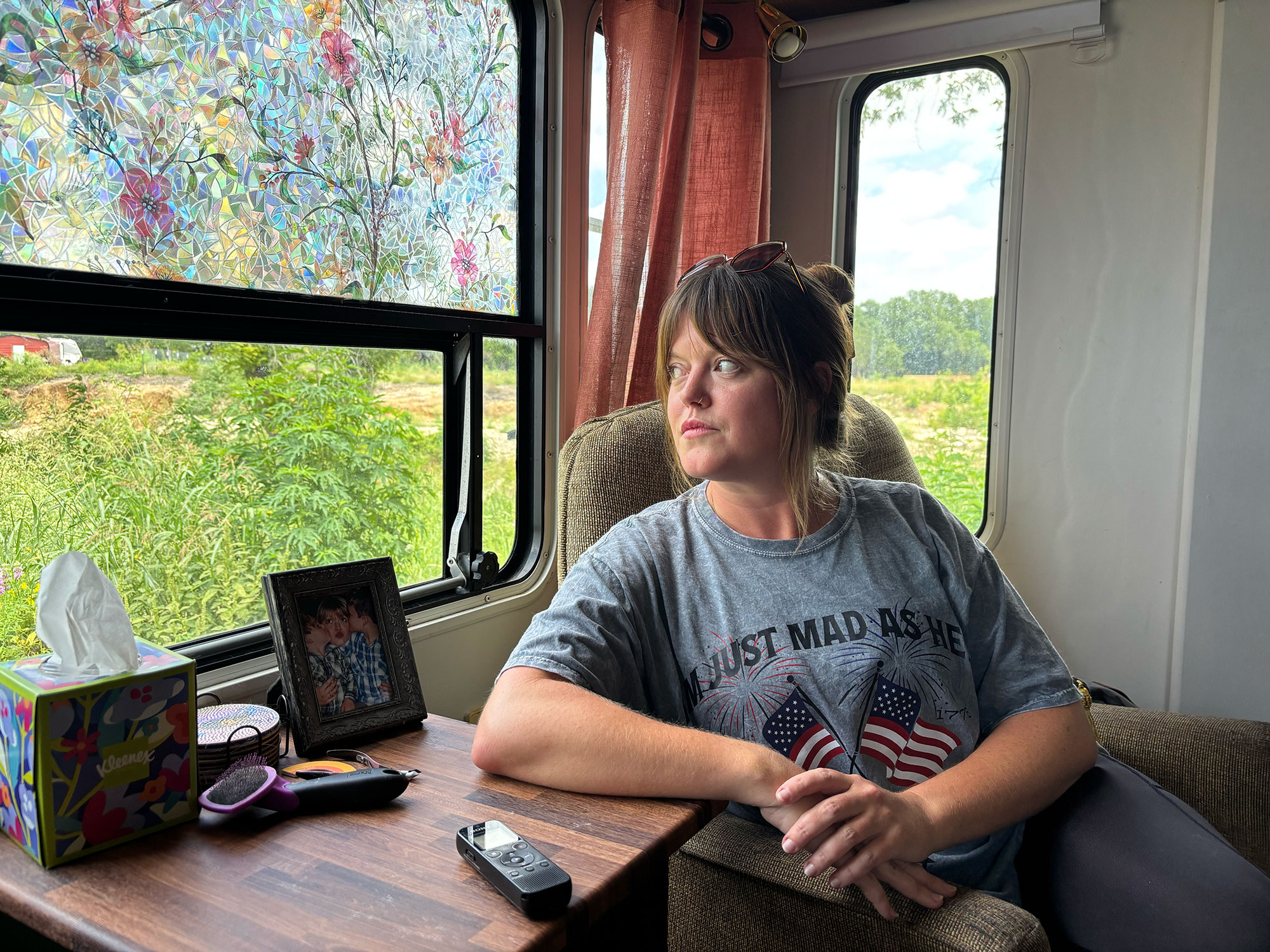
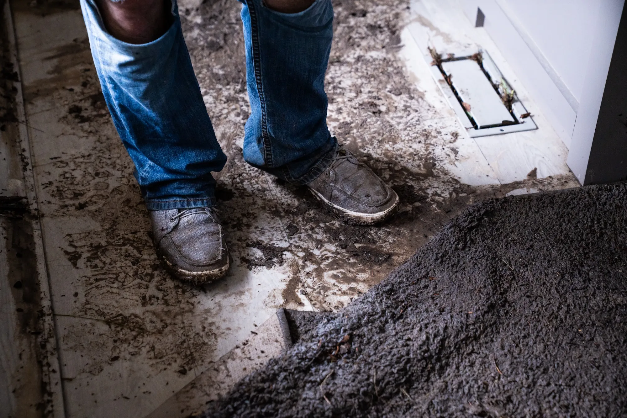
The next morning, as Welch and Hastings picked their way through the muck, his phone rang. It was Huntly Dantzler, a volunteer who had helped them through last year’s catastrophe. “Paul, give me some good news,” he said. “I’ve got none to give,” Welch replied.
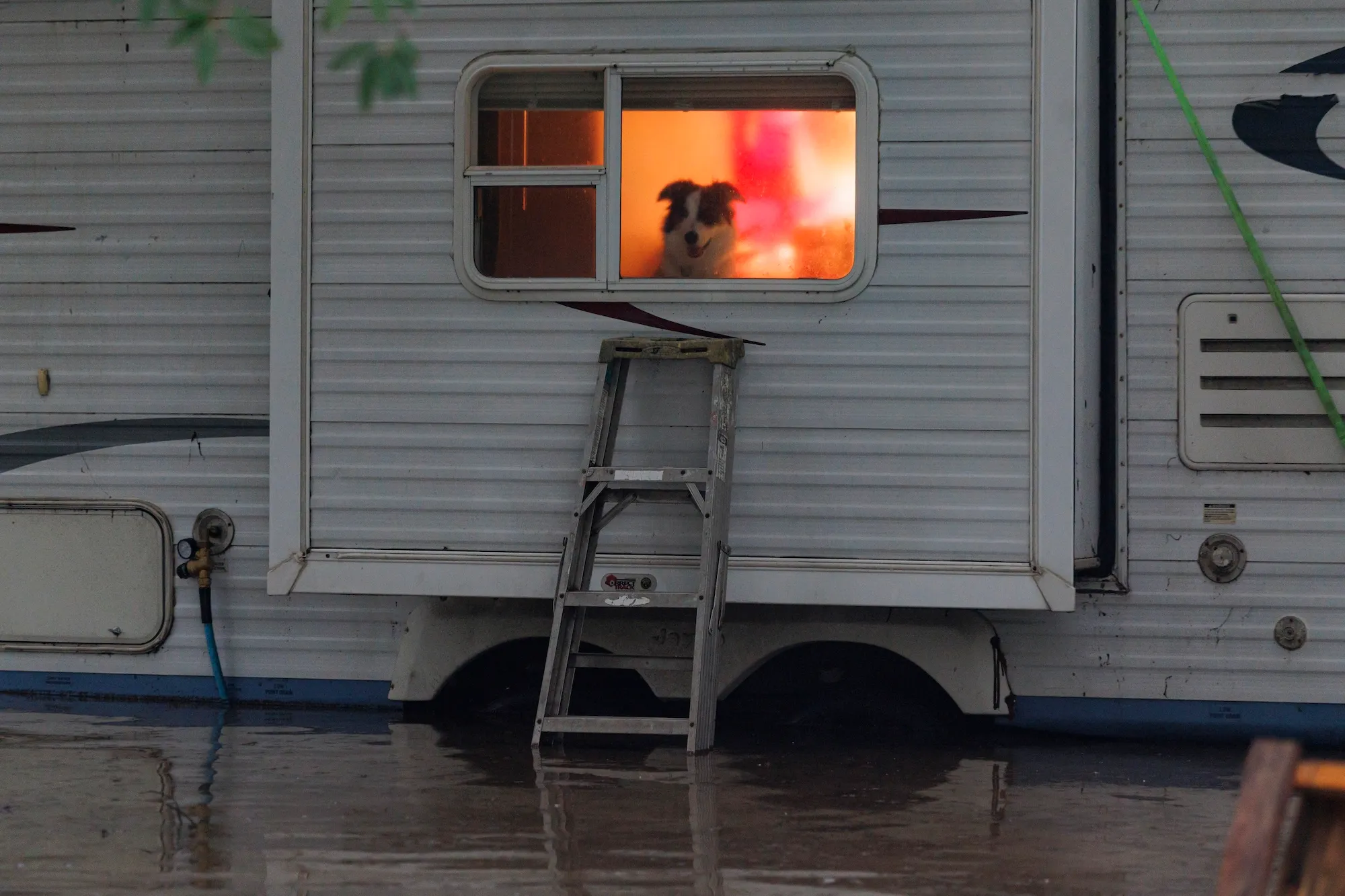
Gone was the $130,000 RV they’d lived in as they awaited construction of their dream house — into which Welch had already sunk $80,000. Gone were the new appliances that sat in his shop, still in bubble wrap. Gone were the 200-year-old cypress trees that had survived so much. “We cried and prayed over the phone,” Dantzler said.
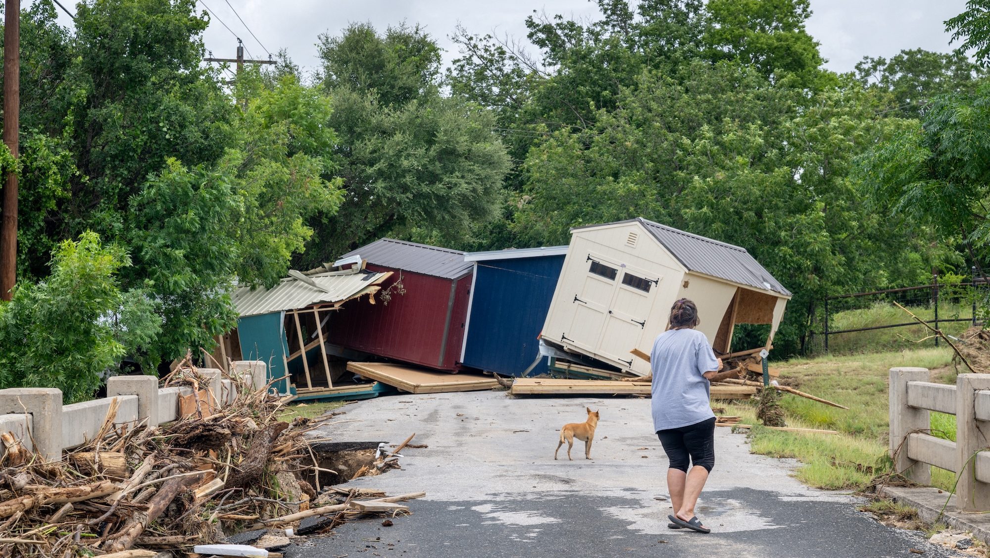
One year after several rivers and creeks in central Texas killed 139 people and spurred a statewide push to improve flood warnings, another historic storm tested those changes. This year’s disaster brought at least 12 inches of rain — and as much as 28 — to one dozen counties north and west of San Antonio and destroyed or damaged hundreds of buildings. Yet just three people died.
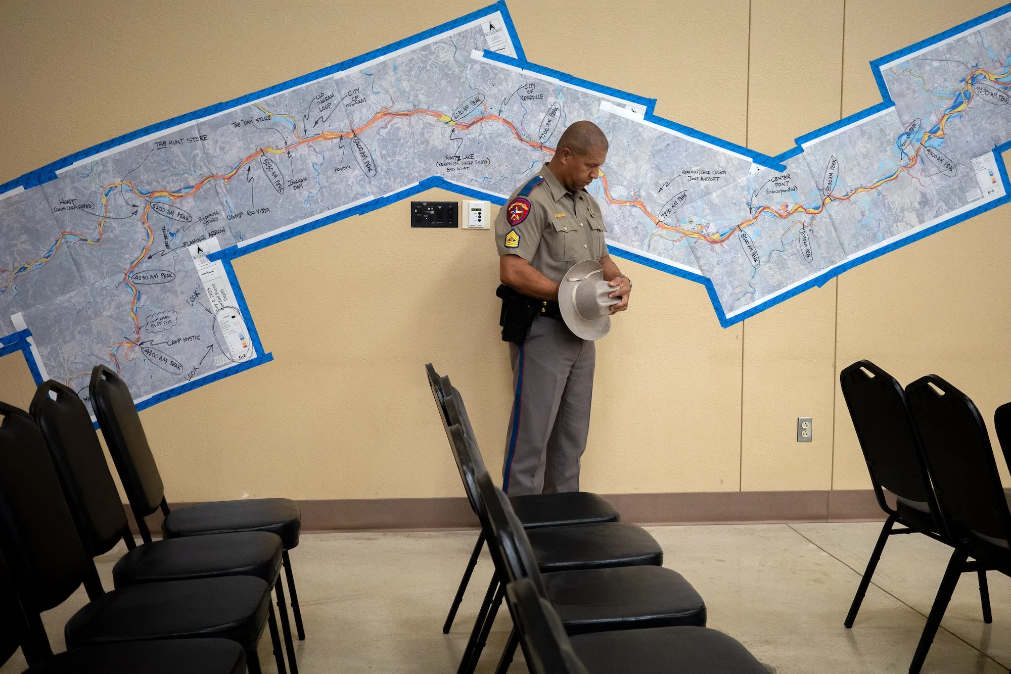
“Here we are a year later, but under incredibly different circumstances,” Kerr County Judge Rob Kelly said at a July 20 press conference. “Last year when we were here, we were grieving. We were in a pall of human loss.”
Earlier forecasts, new warning systems, and a public primed by last year’s tragedies saved lives. But the catastrophe also exposed how much work remains, leaving many Texans counting on vigilance and neighbors when the water rises.
Many of those caught in this year’s flood were still mourning those who died in last year’s. The torrents that swept across the Hill Country then came with such speed and ferocity that many people were still asleep as the water crashed into their homes. The scale of the devastation, which included the deaths of 25 girls at Camp Mystic in Kerr County, shocked the nation.
It also spurred action.
Legislative hearings and investigations revealed failures by Kerr County and the Upper Guadalupe River Authority that exemplified weaknesses in the state’s flood-warning and emergency management systems. Among them, the county lacked outdoor sirens, even along the most vulnerable stretch of the Guadalupe, and the authority had deferred building the warning system it knew it needed after the state denied funding. The county never activated a federal emergency alert system capable of reaching nearly every cellphone in the area and delayed some local alerts while dispatchers sought supervisory approval.
Those shortcomings became central to lawmakers’ push for a more robust warning system across flood-prone communities. During a special late-summer session, lawmakers passed four flood-response bills. Two strengthened safety and licensing requirements at youth camps. Another launched an effort to expand flood-warning systems in 30 counties by identifying flash flood–prone areas that need warning siren systems, including sensors and gauges. The last bill provided $50 million to buy them and another $24 million for a two-year project to dot the Hill Country with more rain gauges, radar, and forecasting tools.
Twenty-nine of the 30 eligible counties had joined the warning-system program by early July. But much of it remained under development when the flooding started.
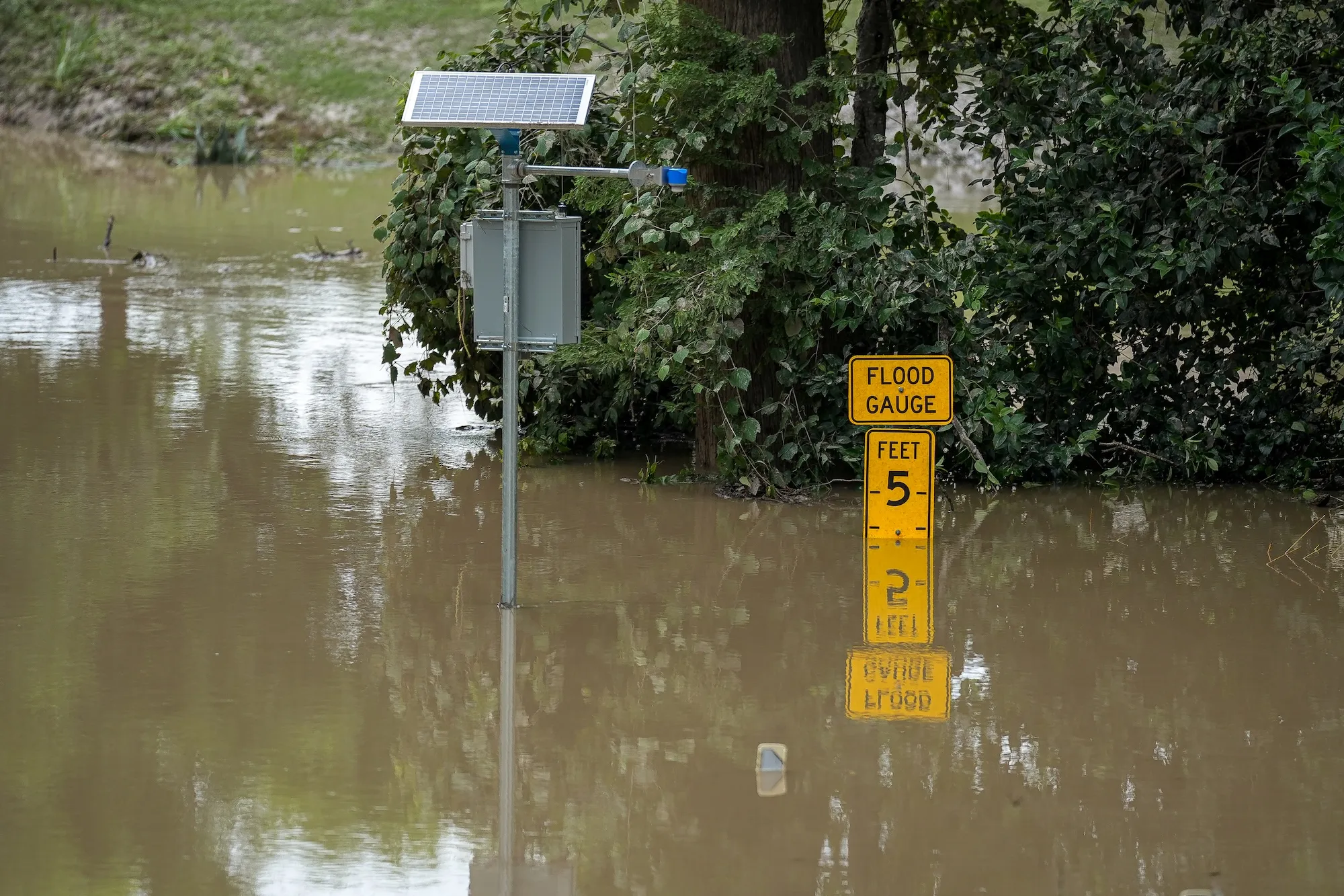
The Upper Guadalupe River Authority was the first to act. Using $1 million drawn from its reserves, it placed six sirens on 50-foot poles in western Kerr County, home to many of the region’s youth camps and RV parks. It also added a weather station and river gauge at the Guadalupe’s headwaters to give earlier notice of rising water. The agency shares that data through RiverHub — the website Welch checked hours before the flood came.
Kerr County officials sent 59 local emergency text alerts and triggered three sirens before and during the storm. A company called River Sentry said a few of the 104 sirens it had installed for landowners along the river sounded automatically, as they were designed to. Local authorities also helped dozens of people evacuate ahead of the deluge.
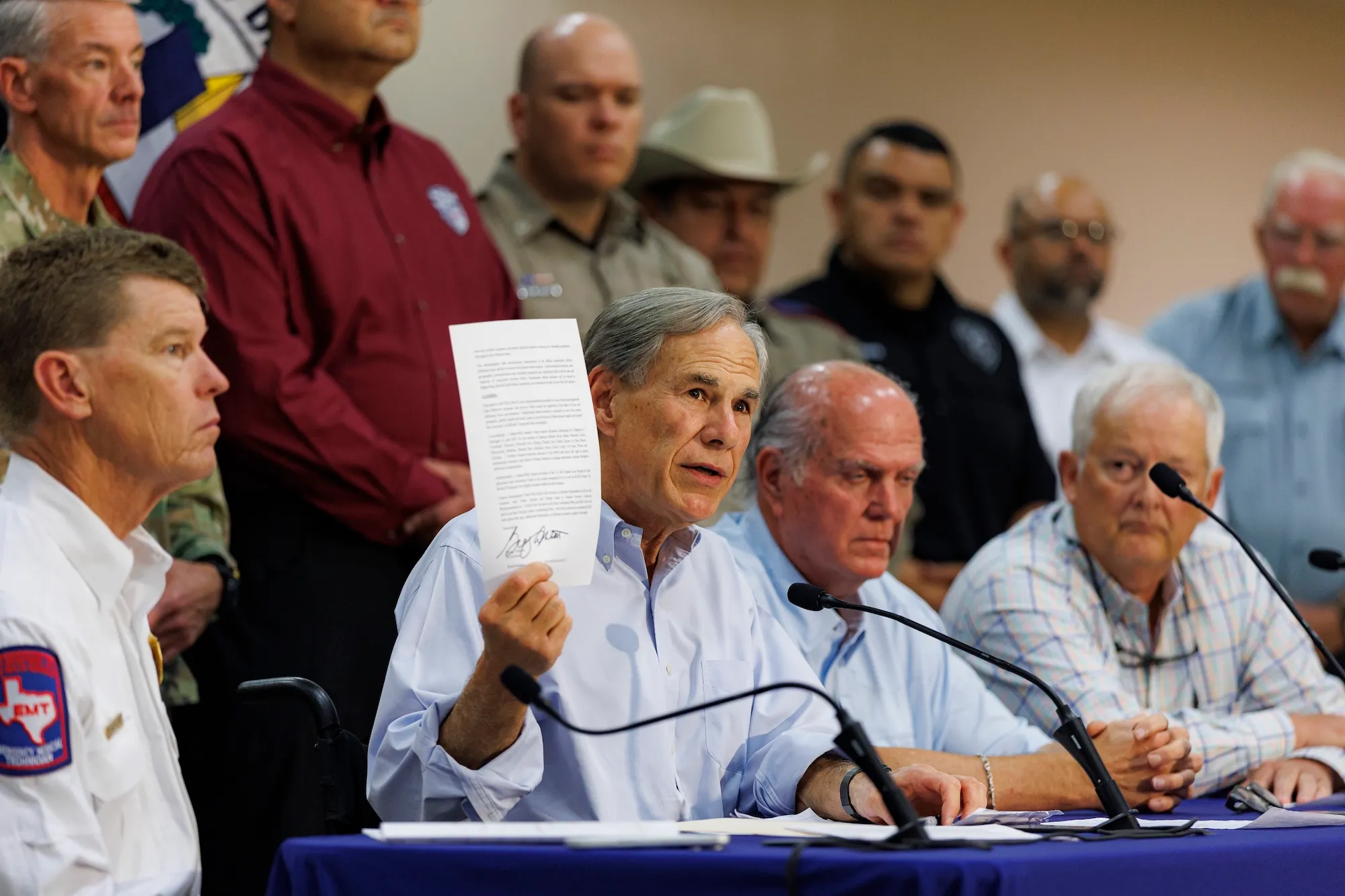
At the July 20 press conference, Governor Greg Abbott and Kelly cited several reasons for the lower death toll, including a storm that moved more slowly, a community and public officials with greater vigilance after the previous year’s disaster, and warning systems installed in the months since.
The first two of those things may have mattered most.
Unlike last year’s storm, this one was larger and easier to track. That gave forecasters a much clearer signal that dangerous flooding was possible, said Robert Mace, who leads the Meadows Center for Water and the Environment at Texas State University.
The National Weather Service used the same models and warning procedures it used in 2025, said Jason Runyen, warning coordination meteorologist at the agency’s Austin/San Antonio office. It simply began briefing emergency officials four days before the river peaked; last year, it did so less than 24 hours ahead of the disaster.
But it was the storm’s intensity that might have played the biggest role in minimizing fatalities, said state climatologist John Nielsen-Gammon. Rain fell at a rate of 2 to 5 inches per hour, versus the 4 to 6 that fell last year, according to Weather Service data. That meant it took longer for the floodwaters to build up, giving people more time to evacuate, Nielsen-Gammon said.
Ryan J. Rock Logue, a Kerrville resident who led the United Cajun Navy’s relief efforts there last year, credits public awareness for minimizing fatalities. People checked on neighbors. They didn’t try driving through floodwaters. And they heeded calls to evacuate. “We were all on hypervigilant PTSD mode with this flood, so everyone was kind of hyperaware,” he said.
Mark Rose is a former general manager of the Lower Colorado River Authority, which oversees the lower Colorado River basin just north of the Guadalupe. He cautioned against drawing quick conclusions from the lower death toll. “Did we really do better because we know better and we’ve made institutional changes?” he said. “Or, did we just do better because last year we had a horrible flood that killed a bunch of people, and it’s now more on our mind? Those are the hard questions that all of the authorities should be asking and answering.”
The storm highlighted just how much of the state’s flood-warning network remains unfinished. Many counties included in last year’s disaster declaration still lack sirens, adequate stream gauges and other infrastructure. In eastern Kerr County, where Paul Welch and Elizabeth Hastings live, no sirens sounded even though their part of the Guadalupe flooded catastrophically last year. Kerr County plans to install 26 more sirens by next summer, but officials in Kerrville have estimated that a more thorough system with additional sirens, river gauges, and the like would cost at least $14 million — far more than the state’s $1 million allotment.
Tom Moser, a former NASA engineer, former Kerr County commissioner and leader of the team that’s establishing requirements for the county’s flood-warning system, said the state should fully fund such hardware up front. “There’s no reason, in my judgment, why a system like this couldn’t be put in place in probably less than six months,” he said. “We’ve seen enough emergencies and the impact of floods in the area that it ought to be full speed ahead.”
Kerr County officials did not respond to requests for comment. The governor has said the conversation is not over.
“The systems we put in place last year proved to be successful and helpful,” Abbot said when asked during a press conference if the Legislature might provide more money for sirens. “We want to make sure we are equally successful and helpful in every region across the state of Texas. And those are the kinds of issues that we will take up in the next session.”
It’s unclear how the system that officials have assembled so far would have stood up in a disaster more like last year’s storm and whether they would have resulted in a similar death toll. Too many homes, vacation rentals, and campgrounds remain in floodplains inundated both times. “Not to be too macabre about it, but it’s possible that some of the people who died last year in their homes would have died in the flooding this year,” Nielsen-Gammon said.
But even the most expansive network of sirens won’t fully eliminate fatalities because they are reactive, Rose said. “With all due respect to those who think they have solved the problem by putting up a siren, in my opinion that’s total bullshit. And the reason is, [are] you going to hear a siren at 3 o’clock in the morning in a pounding rain, dead sleep, when you have an hour to respond? No.”
Rose believes effective flood warning begins as soon as the rain starts falling. In the Hill Country, where rivers are fed by runoff that can be difficult to track, that means monitoring the entire watershed with rain and stream gauges in creeks and tributaries, as the Lower Colorado River Authority has done. Because the Guadalupe has little flood control infrastructure, information is the first line of defense, he said, and it is only as good as the speed with which it arrives.
The fact that Welch felt safe enough to go to bed after checking RiverHub “tells you that we’re in the fledgling stages of data gathering on the Guadalupe River,” Rose said. He suspects the system probably does not yet provide enough timely, real-time information to keep a rapid rise in the water level coming as such a surprise.
“If anybody thinks that they’re done, that the job is done, it’s not,” Rose said. “It’s just starting.”
In the end, what saved Welch and Hastings was a phone call from a neighbor — who had himself been tipped off by a friend in the fire department hearing the first emergency calls. “He saved our lives twice,” Hastings said.
The two of them fled to an Airbnb they found in downtown Comfort. Two weeks later, they had given up on the idea of living along the river and closed on a house 20 miles west, in Kerrville. It sits on a hilltop. “For the first time in a couple years, I’m going to feel safe,” Hastings said.
She has always known the Hill Country was dangerous. As a child in 1978, she watched television footage of cabins floating down the Guadalupe after 48 inches of rain fell in two days. But she never imagined the river would produce two catastrophic floods just 12 months apart.
That could grow more common. Warmer sea-surface temperatures are loading the atmosphere with more moisture, increasing the risk of extreme rainfall along the Gulf Coast, Mace said.
Still, Welch and Hastings can’t let go of their spot on the river. They love the waterfalls, the swimming hole, and the birds too much. They’ll keep coming back, but only in the van so they’re ready to get out quickly. Just in case.