It’s worse than we thought.
From U.S. News and World Report:
All of Earth’s major polar ice sheets except one have been rapidly losing mass — several gigatonnes per year — since 1992, accounting for about 20 percent of global sea level rise, according to a new report by multiple experts.
Scientists say this is the “clearest evidence yet” of polar ice losses, with nearly two thirds of all ice loss coming from Greenland. The only region with an increasing ice mass is Eastern Antarctica; ice sheets in west Antarctica, Greenland, and the Antarctic peninsula are melting and have caused about a half inch global sea level rise since 1992. …
Between 1992 and 2011, Greenland lost 152 gigatonnes of ice, West Antarctica lost 65 gigatonnes, and the Antarctic Peninsula lost 20 gigatonnes. East Antarctica gained about 14 gigatonnes of ice. A gigatonne is 1 billion metric tons.

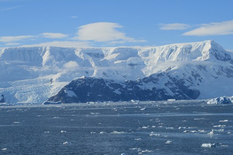
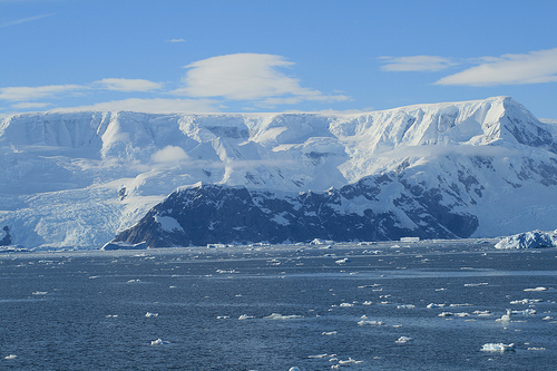
mark217The Antarctic peninsula.
That’s a combined mass equal to about three times all biomass on the Earth. The half inch of ocean rise might also help explain the recent discovery that sea levels are increasing 60 percent faster than expected.
It gets a little worse still. From CNN:
Previous estimates of how much the Greenland and Antarctic ice sheets contributed to the current 3 millimeter-per-year rise in sea levels have varied widely, and the 2007 report of the United Nations’ Intergovernmental Panel on Climate Change left the question open.
While the 19-year average worked out to about 20% of the rise of the oceans, “for recent years it goes up to about 30 or 40%,” said Michiel van den Broeke, a professor of polar meteorology at Utrecht University in the Netherlands. The rest comes from thermal expansion — warmer water takes up more space.
According to the Associated Press, the Antarctic and Greenland ice sheets lost three times as much ice annually between 2005 and 2010 as during the 1990s.
The findings, released today, use the hot new tool in data analysis: averaging. Well, sort of. From The Washington Post:
The study by an international group of 47 experts who study satellite mapping data — led by Erik Ivins, a scientist at NASA’s Jet Propulsion Laboratory, and Andrew Shepherd, a professor of earth observation at the University of Leeds — is the first to pull together 50 different ice-sheet-loss estimates over two decades and reconcile the research methods and findings into a single report.
As a result, the new findings “are now two to three times more reliable” than ice-melt and sea-level-rise estimates in studies used by the Intergovernmental Panel on Climate Change to compile its most recent report in 2007, Shepherd said.
So in case you were hoping that the calculations were iffy: nope. They’re better.
We now present this new information, as acted out by Rachel Dratch.


