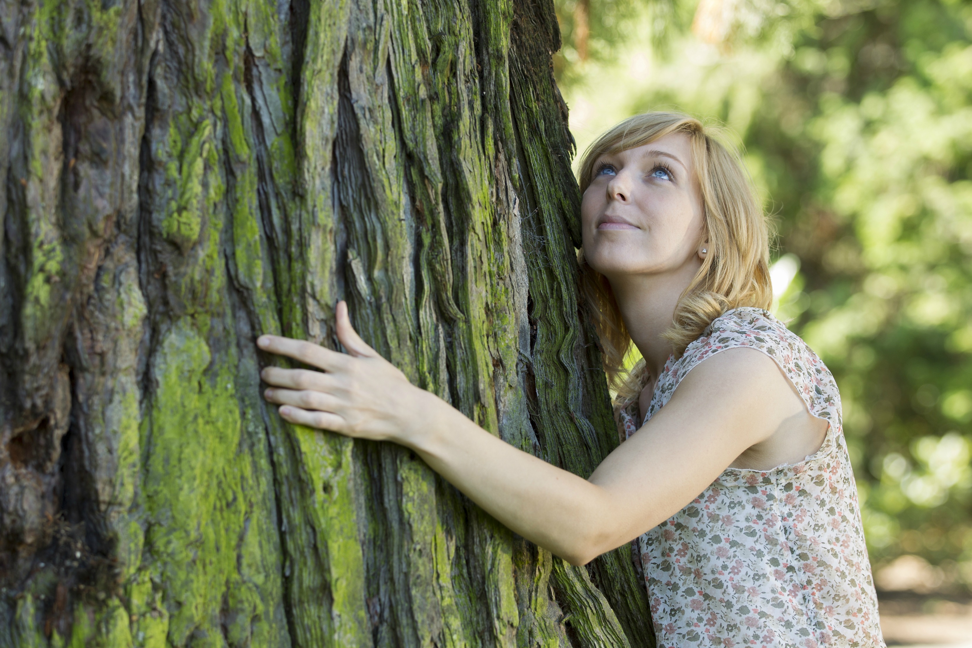
ShutterstockI’ve been waiting for a tree like you to come into my life.
When the late lunch hunger pangs come on, it’s become old-hat to whip out the smartphone and survey food options via Yelp. But what if the cravings are more along the lines of staving off screen fatigue and finding the best birch in town?
Open Tree Map has got your back. Seattle is catching up with places like San Francisco, Philly, and Tampa with a just-launched program using Open Tree Map’s software to help city folk catalog, find, and learn about the local trees living in the midst of their urban jungle.
It’ll most likely be used for mapping and spreading awareness of the urban canopy over complaining about sub-par service at the neighborhood oak (“lousy deciduous!”). But for the tree geeks among us, the possibilities are endless. Want to find a five-star maple? Pull up the map on your browser and get your hugging arms ready. You can search by age, trunk diameter, and height filters to locate the tree of your dreams. And just like you wouldn’t let a taco truck get by with dishing out a soggy burrito, if you get out there and find that something’s a little off, you can leave a comment for future Tree Map users: “Dang, this thing smells dank.” Or, if you spot a tree that’s not in the system, you can plug it in yourself.
Brian Windrope, executive director of the Seattle Audubon Society, the organization behind Seattle’s map, hopes it might help to garner support in the city’s goal of reaching a 30 percent tree canopy coverage — how much of the city is covered by trees, as seen from above — by 2036 (right now it’s at 23 percent). It could help planting parties visualize where trees aren’t, and plan their next attack. “Trees matter — they have an effect on the heat island effect, on climate change, on the aesthetics,” he says. “The tree canopy is a mechanism for us as an organization to get at a myriad of issues that concern us.”
Tree Map also serves up all sorts of stats about the ecosystem services the trees provide — like how much CO2 is conserved, or the air pollutants removed. These metrics can be sorted through to get the dirt on an individual tree, a certain kind of tree, a certain neighborhood, or the city as a whole. It’s currently just in webpage form, but Seattle Audubon is hoping to get the funding to develop a smartphone app for tree hunting on the go.
As of now, Seattle Tree Map has a database of 126,834 trees. Together, they suck up 20,725,185.62 pounds of CO2 and save 55,884,195.45 gallons of water. Seattle Tree Maps estimates the cumulative benefits are worth nearly $2 million. Way to go, trees!
Now, what’s for lunch?