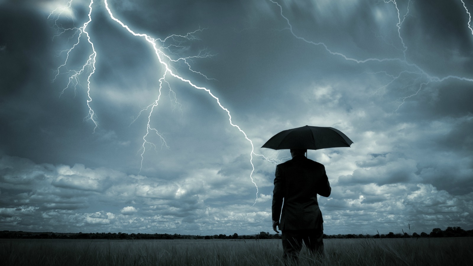
The National Weather Service will stop issuing forecasts in all-caps beginning on May 11. They’ve given us 30 days’ notice to prepare, AND AS YOU CAN SEE, WE ARE FREAKING OUT.
All this time, we thought that the nation’s top meteorologists were just a bunch of neurotics. We assumed when they told everyone in Boston at 7 a.m. this past Sunday that “ASIDE FROM A FEW MINOR TWEAKS … THE OVERALL TREND IN THE FORECAST REMAINS ON TRACK FOR TODAY,” they were legitimately panicking over this mild update to the “DRY BUT COOL CONDITIONS” that they’d reported just 10 minutes earlier.
But no — turns out, the NWS has just been slow to ditch the last remnants of a decades-old technology called a teleprinter. The technology, which only operates in all-caps, basically amounts to “typewriters hooked up to telephone lines,” according to the National Oceanic and Atmospheric Administration.
So now we’re in a bit of a predicament. We’ve got just 29 days until our forecasts go mixed capitalization, and since we’re so used to all of our forecasts sounding like they came straight from the screaming weatherman in The Day After Tomorrow, we now have no idea which weather conditions we should be yelling about!
Here to help, we’ve compiled some recent forecasts to experiment with. Here’s one for Kansas City:
“A STRENGTHENING STORM OVER THE PACIFIC NORTHWEST WILL MOVE FURTHER ONSHORE TODAY, WHICH WILL CONTINUE TO PUSH A MID-LEVEL RIDGE OVER THE CENTRAL PLAINS. THE MAIN CONCERN FOR TODAY AND FRIDAY IS FIRE WEATHER DANGER AS A VERY STRONG LOW-LEVEL JET DEVELOPS UNDERNEATH THE RIDGE FROM CENTRAL TEXAS SPREADING NORTHEAST INTO THE FORECAST AREA THIS MORNING.”
Sounds mildly terrifying, doesn’t it?
How about: “A strengthening storm over the Pacific Northwest will move further onshore today, which will continue to push a mid-level ridge over the Central Plains. The main concern for today and Friday is fire weather danger as a very strong low-level jet develops underneath the ridge from central Texas spreading northeast into the forecast area this morning.”
That’s much better. Although, might I suggest that we keep “FIRE WEATHER DANGER” in all caps. That sounds like something we definitely should be yelling about.
OK, here’s another example from Boston: “PRECIPITATION TYPE WILL BE A CONCERN TODAY. LOTS OF LOW LEVEL DRY AIR TO OVERCOME FIRST.”
Now this just sounds melodramatic. “Precipitation type will be a concern today. Lots of low level dry air to overcome first” should do just fine.
Likewise, there’s no need to capitalize “THIS EVENING … LINGERING CLOUDS AND A FEW LIGHT SHOWERS FROM RESIDUAL INSTABILITY … BUT THIS SHOULD DIMINISH.” Unless, of course, the weather service is trying to comfort us, in which case, “BUT THIS SHOULD DIMINISH” should remain in all caps, and we should thank them for being there when we need them.
A few more general guidelines: Tornadoes are worth yelling about. Light rain is not. Hurricanes — yes. Fog — no. Severe flooding — yes. Sunny skies — no. You get the idea.
So are there any circumstances under which the entire forecast should be in all caps? Of course. Here’s one:
CLIMATE CHANGE IS CAUSING THE WEST ANTARCTIC ICE SHEET TO CRUMBLE, WILDFIRES TO RAVAGE THE WEST COAST, AND INSECT-BORN DISEASES TO SPREAD OUT FROM THE TROPICS. EXPECT A COLD FRONT FROM CLIMATE DENIERS TO SLOW ADAPTATION MEASURES THROUGH MID-CENTURY, CAUSING A HEAVY RAINFALL OF WIDESPREAD ECONOMIC AND CULTURAL DEVASTATION.
But then again, that sounds pretty terrifying no matter how you write it.


